It’s time for the annual National Parks Club! Find out information about participating shops and more here.
Where is it located?
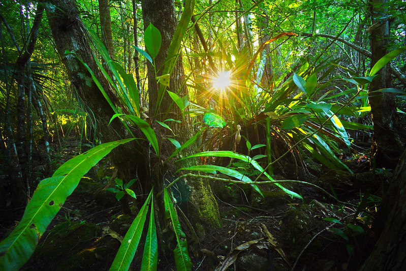
Glacier National Park is a 1,583-sq.-mi. wilderness area in Montana’s Rocky Mountains, with glacier-carved peaks and valleys running to the Canadian border.
Whose land does it reside upon?
Physical evidence of human use dates back more than 10,000 years within the boundaries of Glacier National Park. Numerous Native American tribes utilized the area around and within what is now the park for hunting, fishing, ceremonies, and gathering plants. When the first white explorers began arriving in the region, the Blackfeet controlled the prairies on the east side of Glacier, while the Salish, Pend d’Oreille, and Kootenai lived in the more forested west side.
Explorations to the area by white trappers as early as the 1700s opened the area, and the future Glacier National Park, to trading among European settlers and tribal communities. As resources were depleted, the tribes eventually signed treaties that would increasingly confine native people to reservations and leave them dependent on the U.S. government.
Today, the 1.5-million acre Blackfeet Indian Reservation, which shares Glacier’s eastern border, is home to about 8,600 members of the Blackfeet Nation, the largest tribe in Montana. The Flathead Indian Reservation encompasses approximately 1.3 million acres mostly along the Flathead River and is home to approximately 7,000 members of the Confederated Salish and Kootenai Tribes of the Flathead Nation.
When was it established?
May 11, 1910
About this park:
A showcase of melting glaciers, alpine meadows, carved valleys, and spectacular lakes. With over 700 miles of trails, Glacier is a paradise for adventurous visitors seeking a landscape steeped in human culture. Relive the days of old through historic chalets, lodges, and the famous Going-to-the-Sun Road.
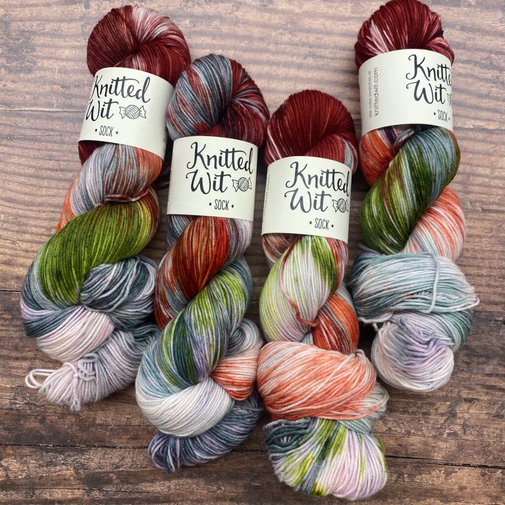
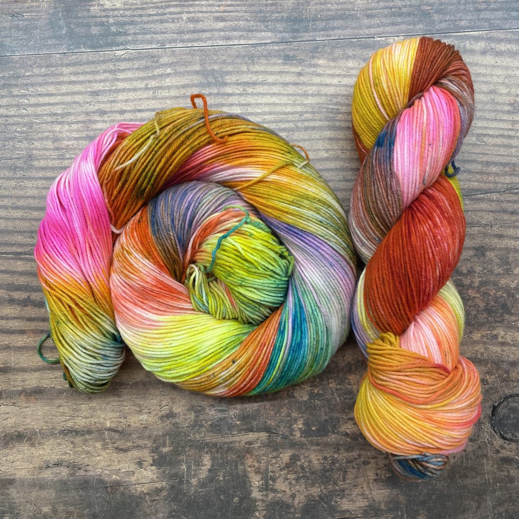
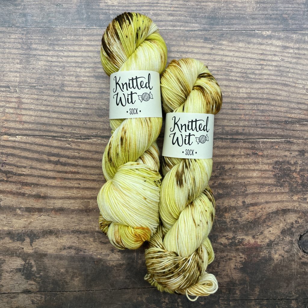
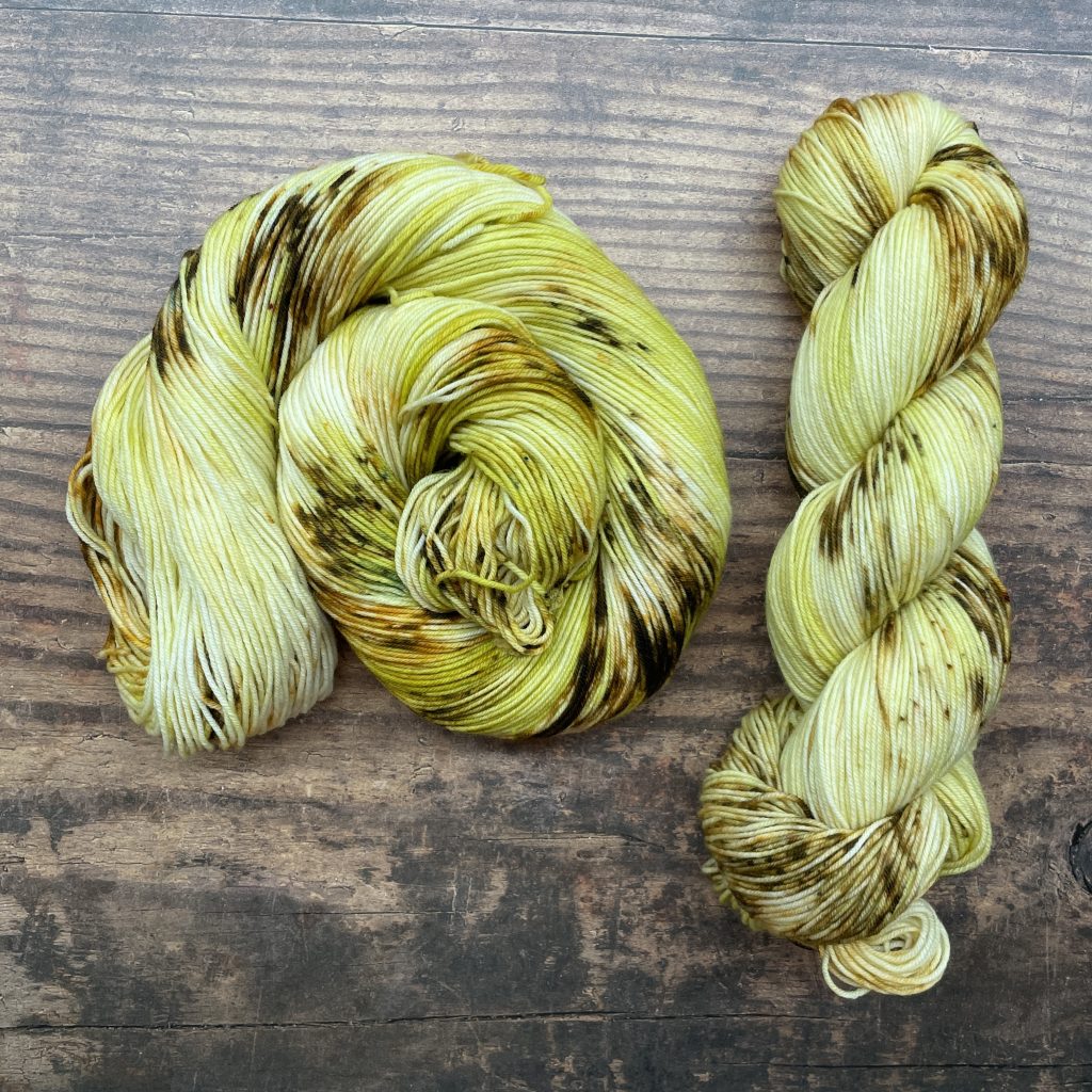
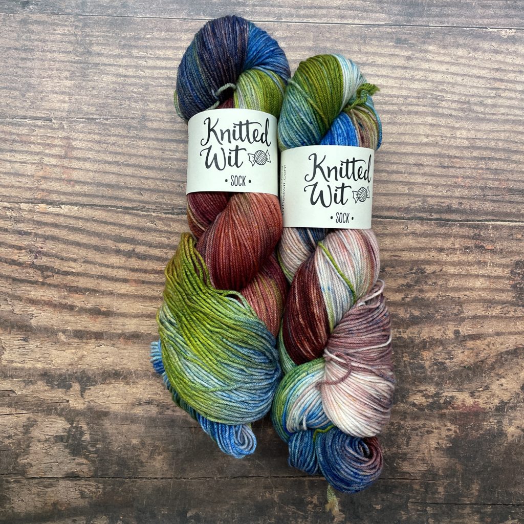
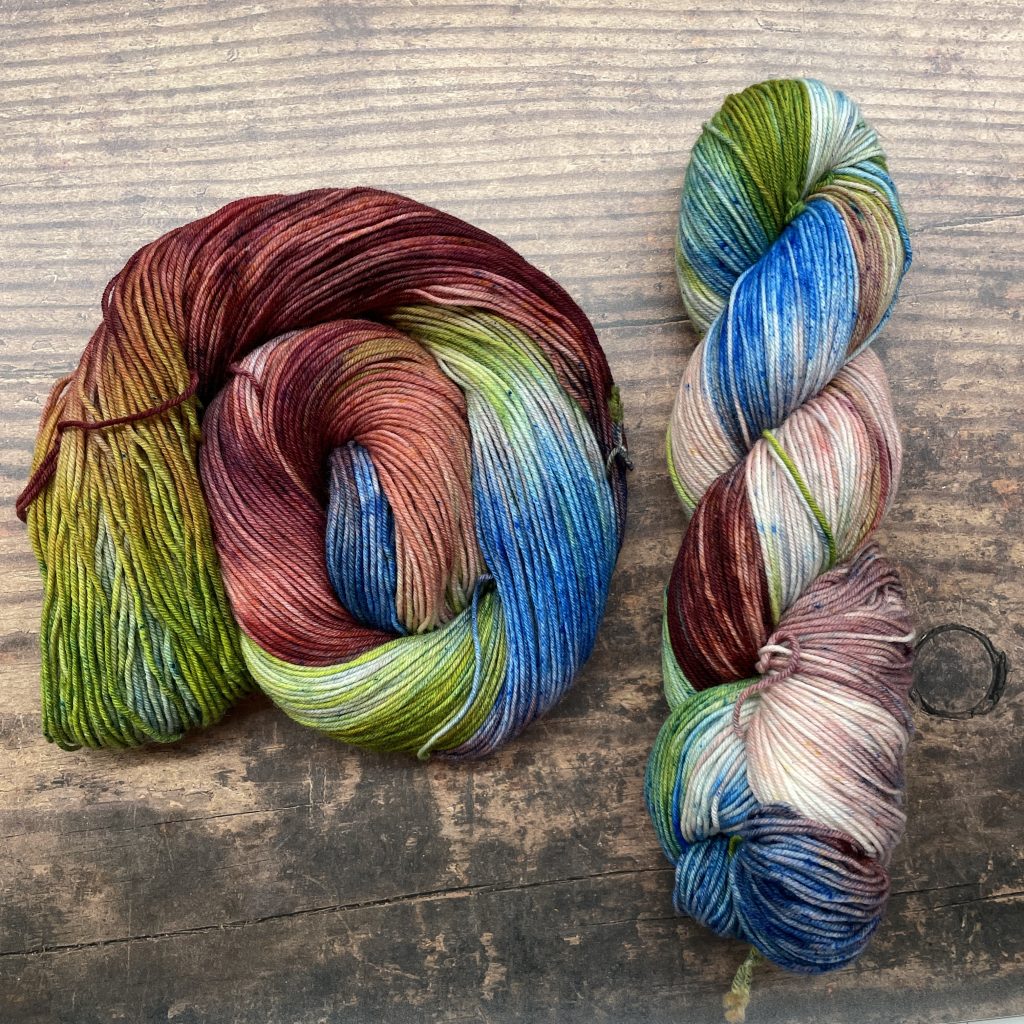
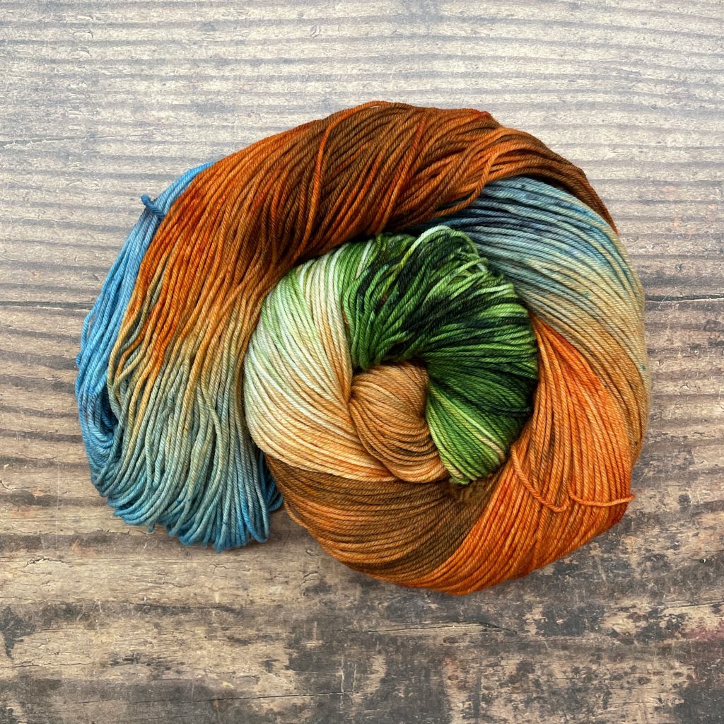
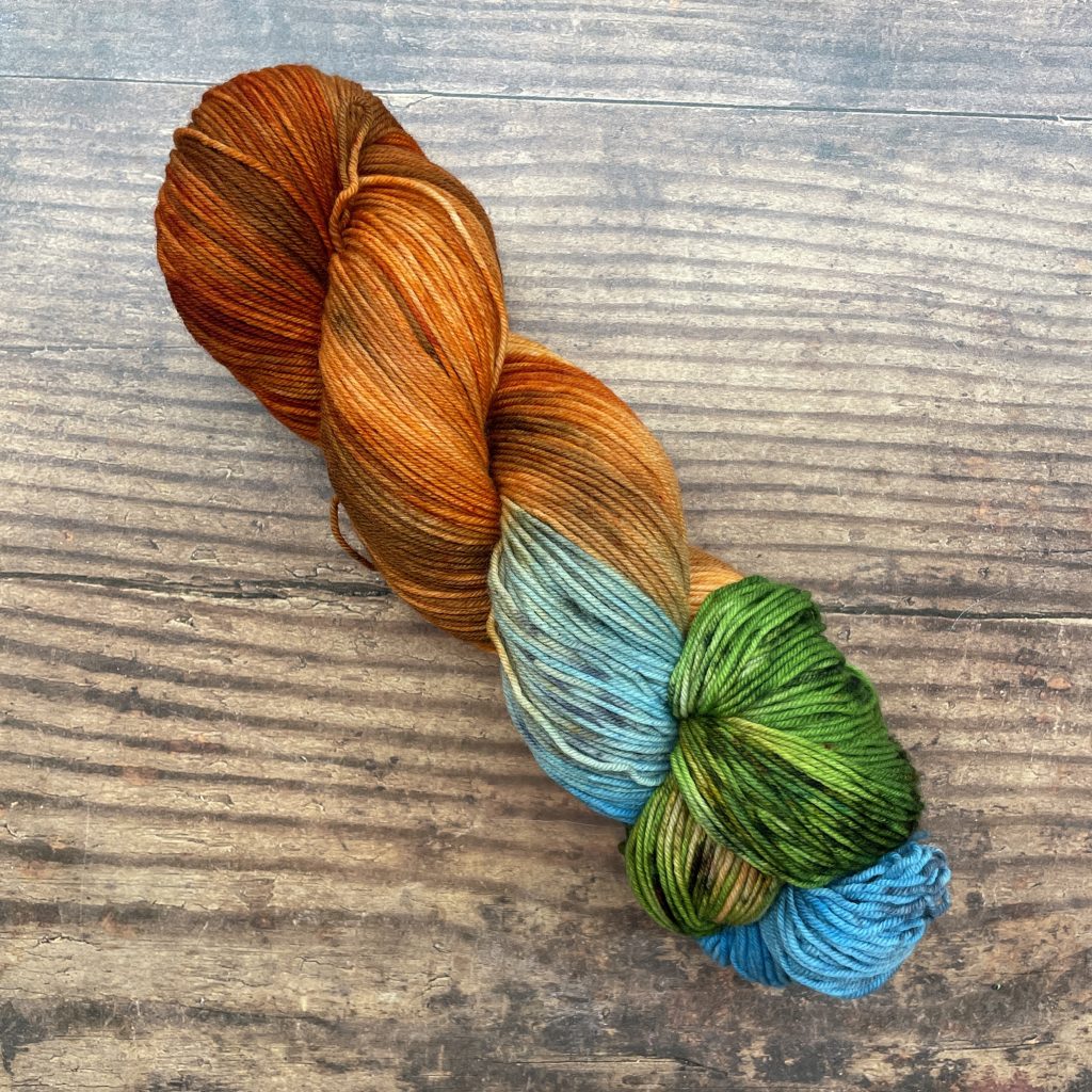
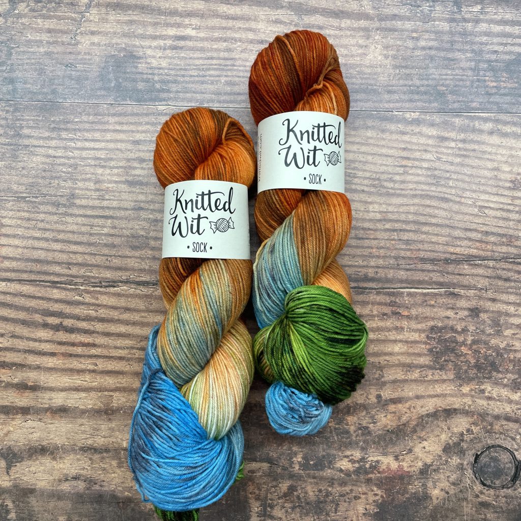
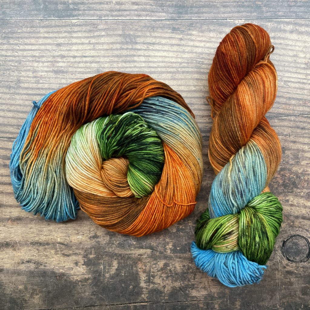
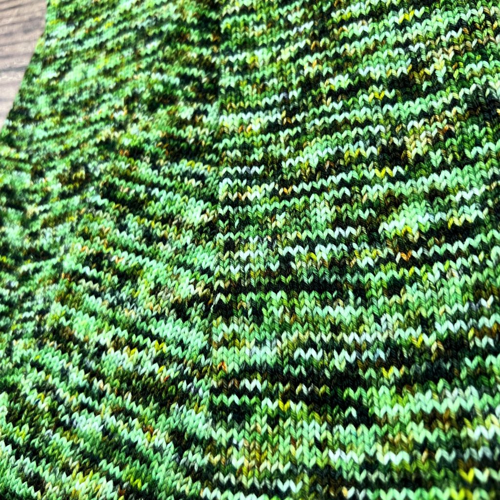
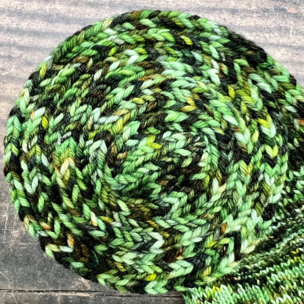
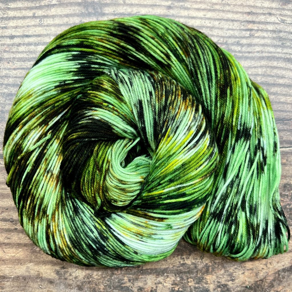
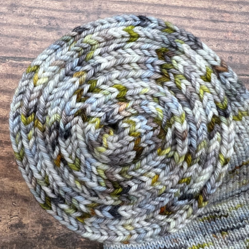
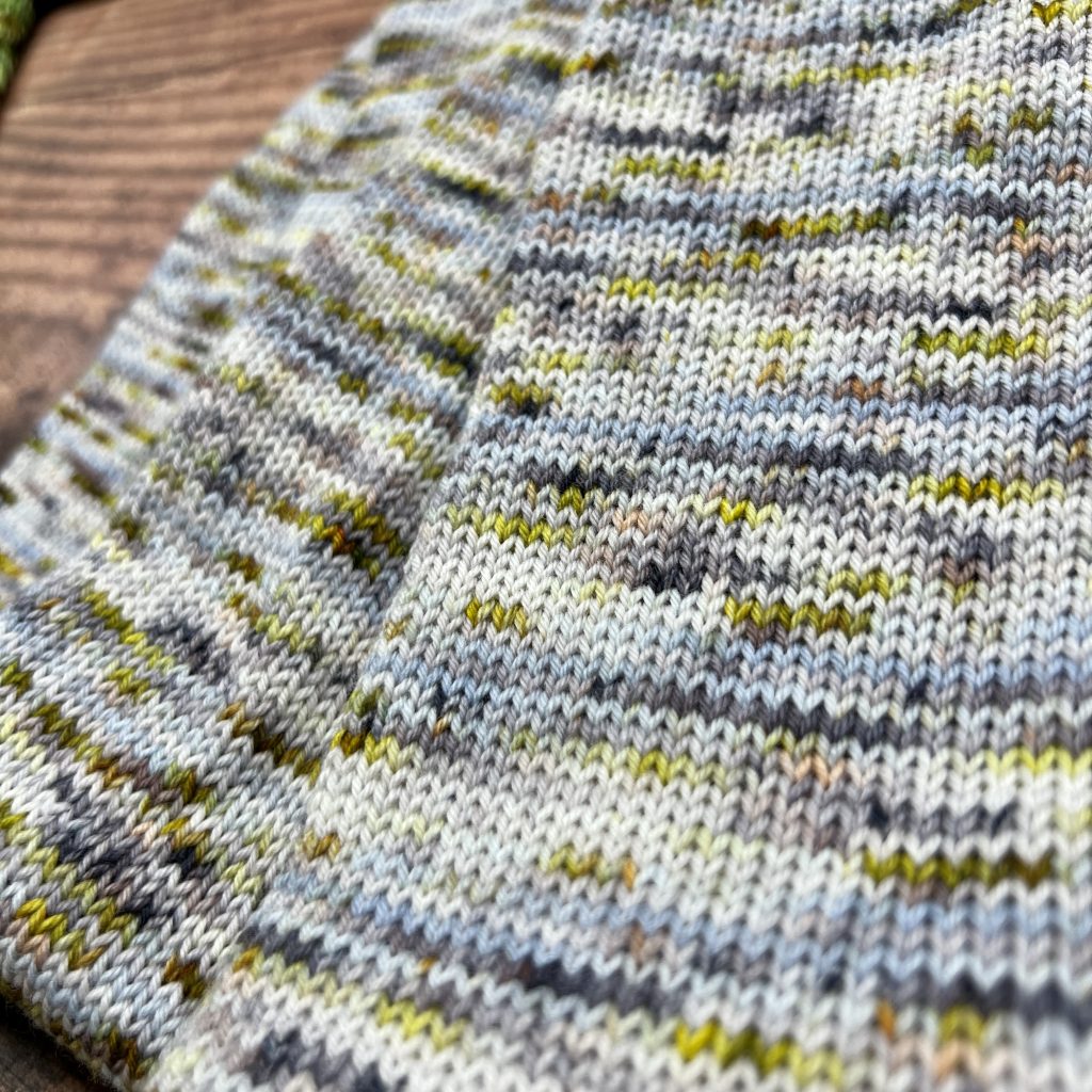
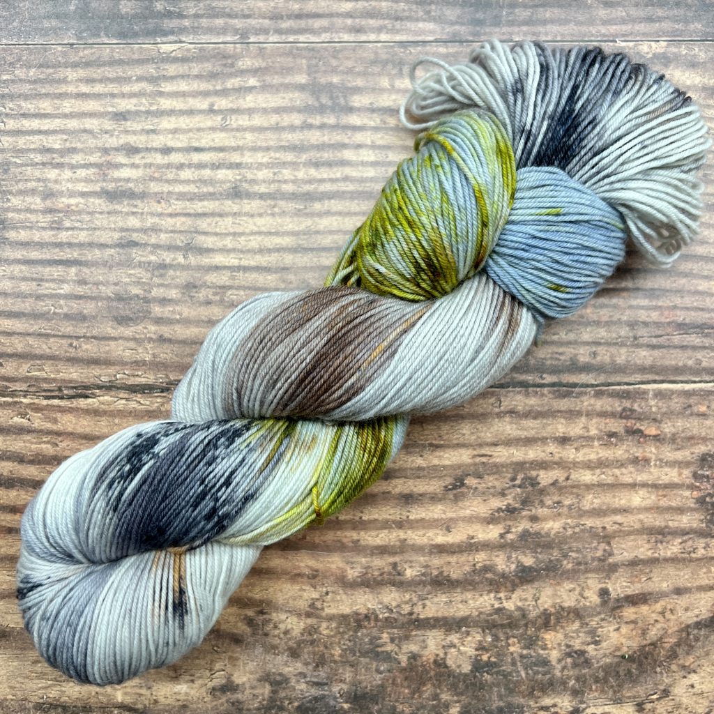
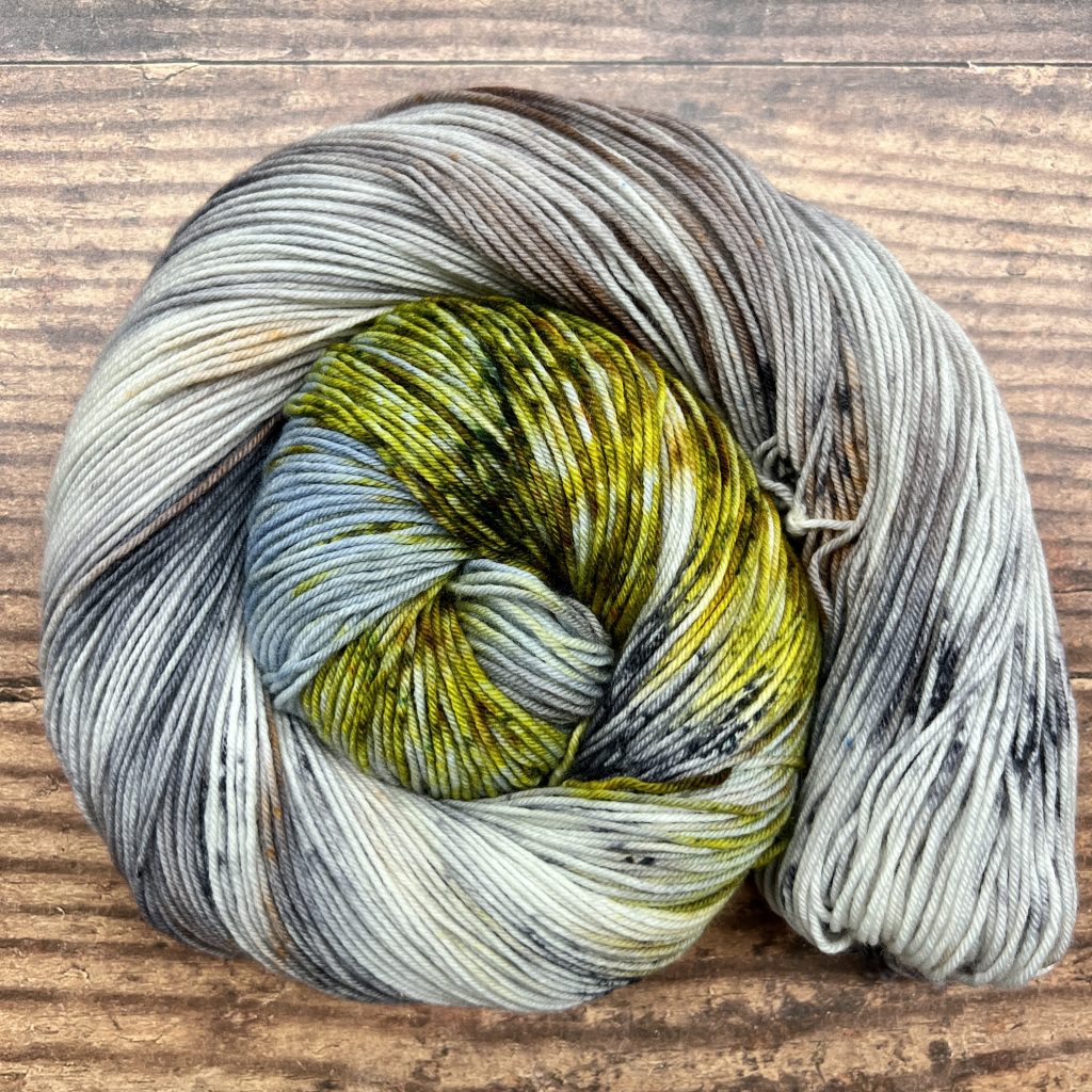
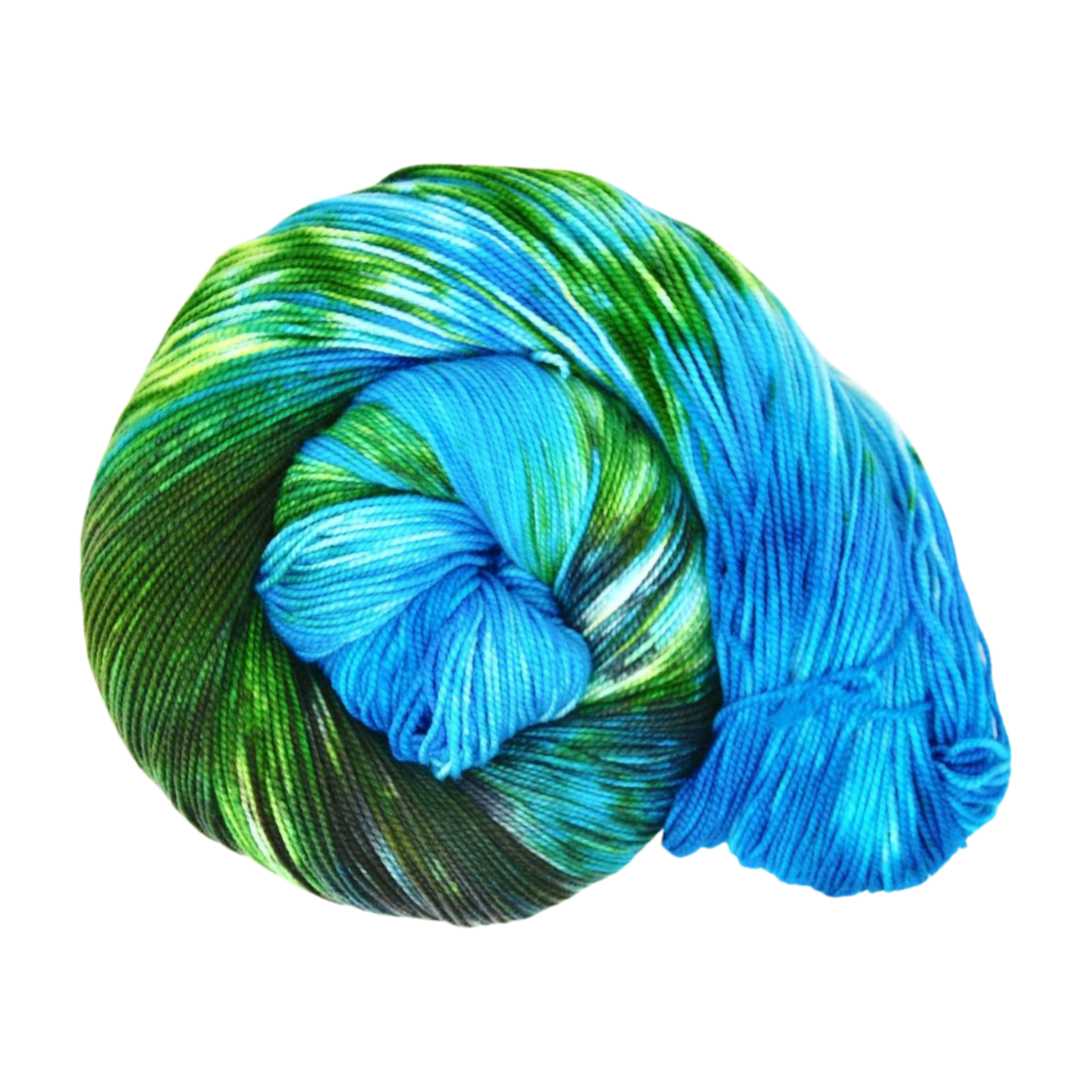
Why did we choose these colors?
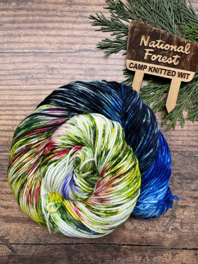
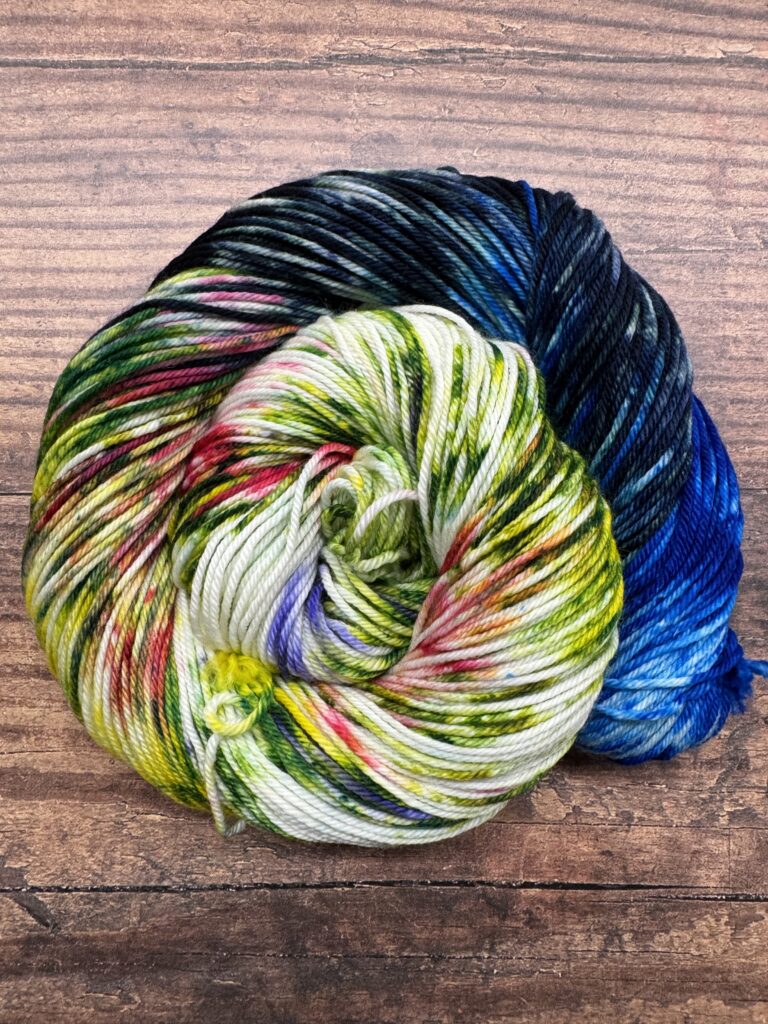
We used photos like this one of the glacial waters surrounded by lush greenery to create our Glacier NP colorway: https://www.flickr.com/photos/glaciernps/27494135253/in/album-72157646947740273
For more information:
NPS website: https://www.nps.gov/glac/index.htm
Instagram: https://www.instagram.com/glaciernps
Facebook: https://www.facebook.com/GlacierNPS