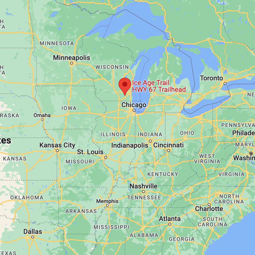
The Ice Age Trail is a National Scenic Trail stretching 1,200 miles in the state of Wisconsin.
Whose land does it reside upon?
The Menominee, Ojibwe (Chippewa), Potawatomi, and Ho-Chunk (Winnebago) peoples are among the original inhabitants of Wisconsin.
When was it established?
1980
About this park:
15,000 years ago during the Ice Age, much of North America lay under a huge glacier. Mammoths, saber tooth cats and cave lions roamed the earth. Some of the best evidence of this glacier is found in Wisconsin such as the state’s many lakes, river valleys, gently rolling hills, and ridges. The nearly 1,200 mile Ice Age National Scenic Trail, established in 1980, traces the glacier’s edge.
The Ice Age National Scenic Trail is not your ‘typical’ park. The trail is primarily built and maintained by volunteers. When completed, the trail will be more than 1,200 miles long and cross the state of Wisconsin north to south and east to west.
Why did we choose these colors?
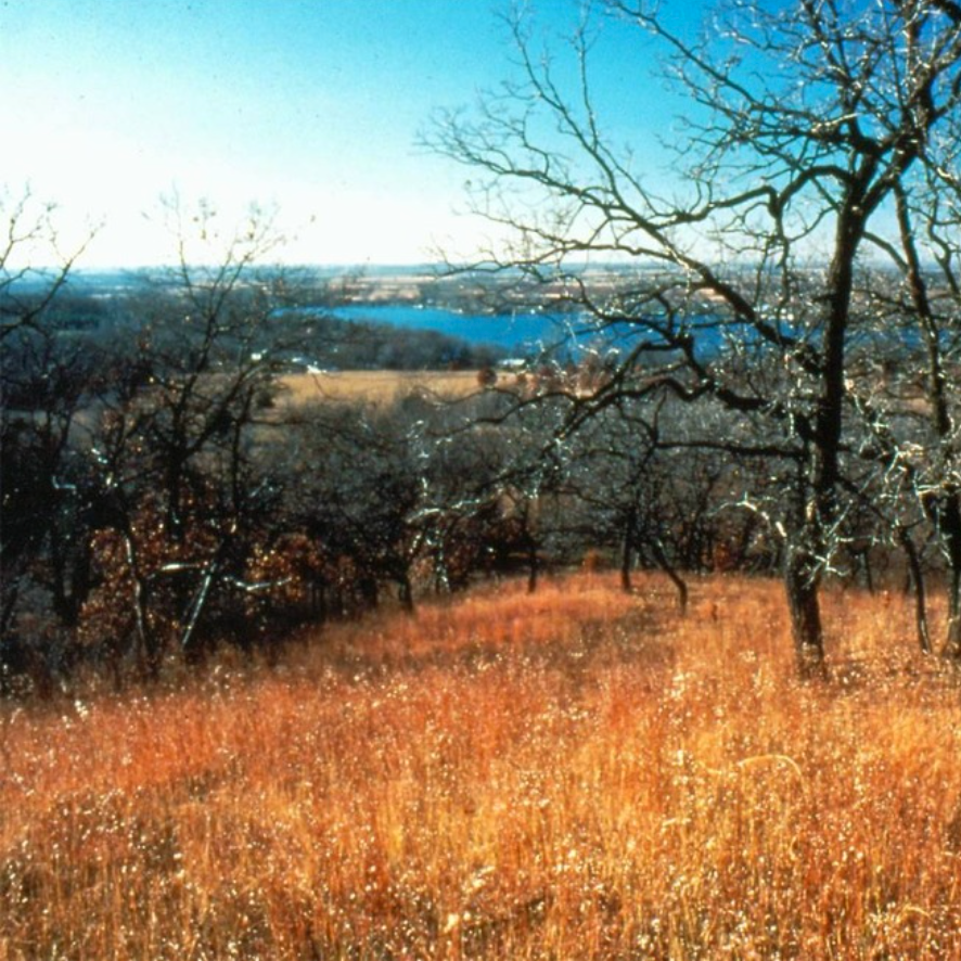
We used the stunning photo of an opening in oak trees in the Kettle Moraine State Forest overlooking a kettle lake for our colorway inspiration.
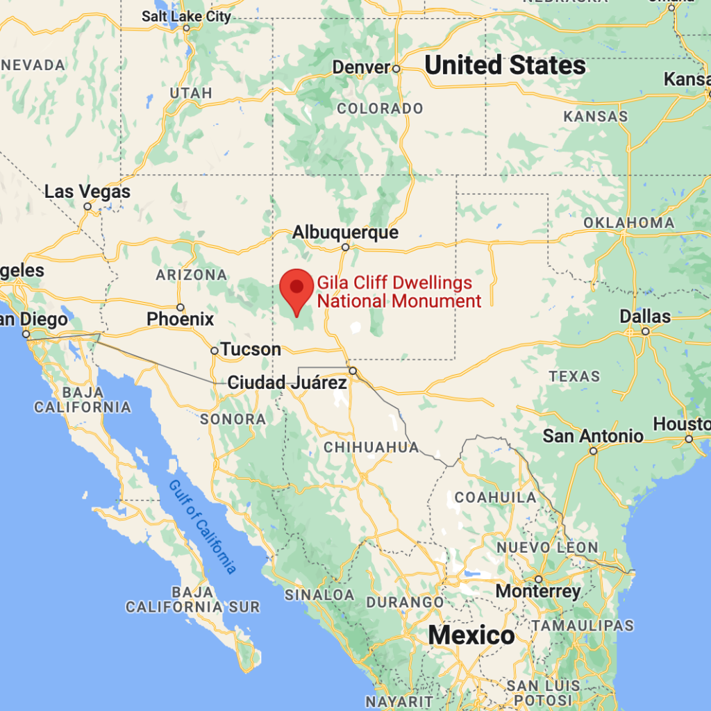
Gila Cliff Dwellings National Monument is located on the headwaters of the Gila River in southwest New Mexico.
Whose land does it reside upon / About this park:
For thousands of years, nomadic groups of Indigenous people used the caves above Cliff Dweller Creek as temporary shelter. In the late 1200s, people of the agricultural Mogollon (Southern Ancestral Pueblo) culture made it a home. They built rooms, crafted pottery and raised children in the cliff dwellings for one or two generations. By approximately 1300, the Mogollon had moved on, leaving the walls behind.
Until white colonialism disrupted life all over what is now North America, people from the Apache tribes occasionally entered Cliff Dweller Canyon, but apparently—and for reasons not adequately developed in the anthropological literature—they did not seem inclined to disturb prehistoric pueblo site. That all changed when white folks started to move West, and within a very short period of time, the abandoned dwellings were thoroughly pilfered. Honestly, the only reason the site is as preserved as it is is because of its remoteness.
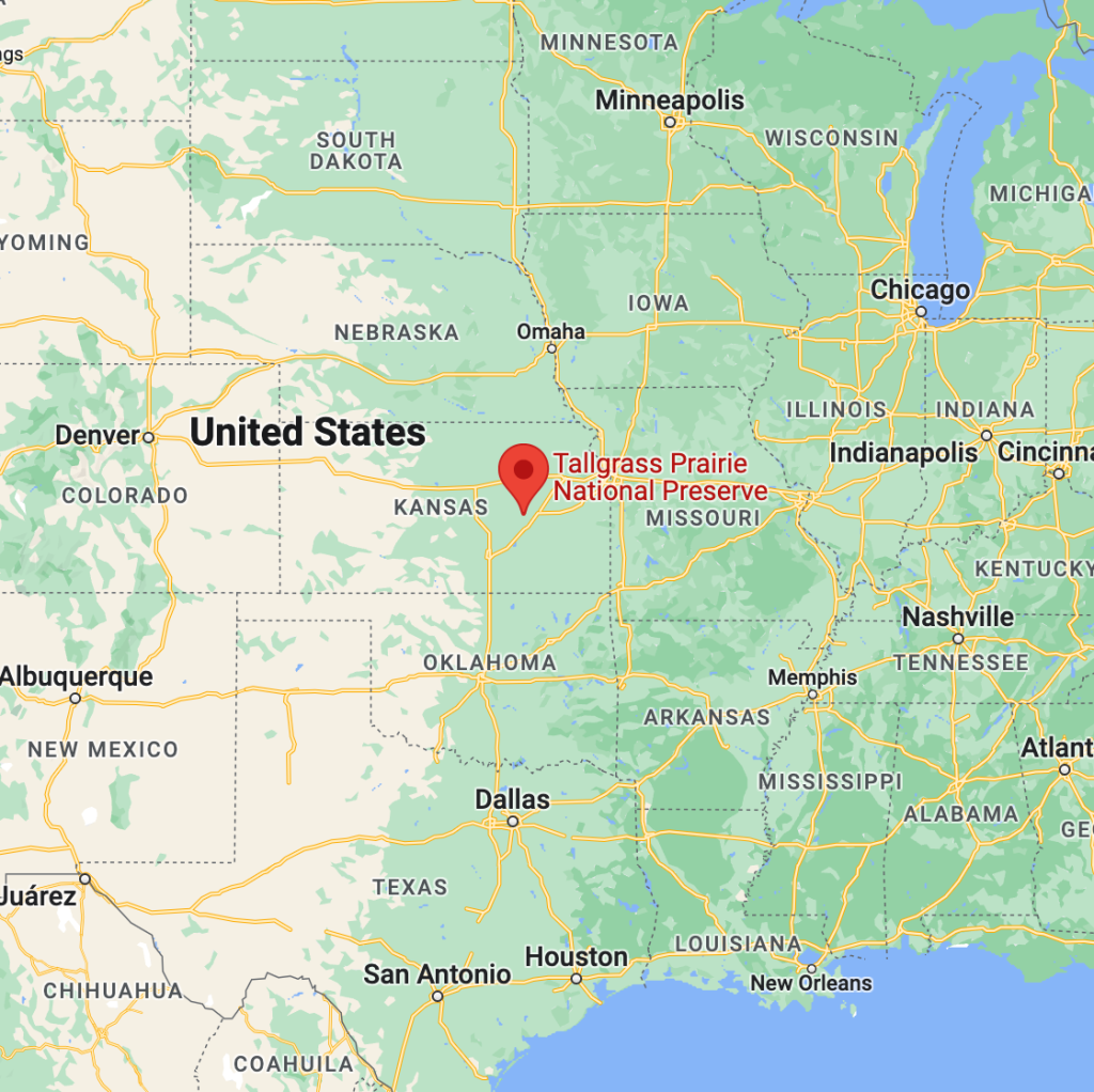
Tallgrass Prairie National Preserve is a United States National Preserve located in the Flint Hills region of Kansas, north of Strong City.
Whose land does it reside upon?
Human activity in the Kansas Flint Hills can be traced back about 12,000 years.
By A.D.1500 – 1825, efficient horticultural activity was combined with increased bison hunting, almost certainly due to acquisition of the horse by Native Americans. This transition on the Great Plains has clear association with specific Native American peoples. In the preserve area, these included the Wichita, Kansa, Osage, and Pawnee.
When was it established?
November 12, 1996
About this park:
Tallgrass prairie once covered 170 million acres of North America, but within a generation most of it had been transformed into farms, cities, and towns. Today less than 4% remains intact, mostly in the Kansas Flint Hills. Established on November 12, 1996, the preserve protects a nationally significant remnant of the once vast tallgrass prairie ecosystem. Here the tallgrass makes its last stand.
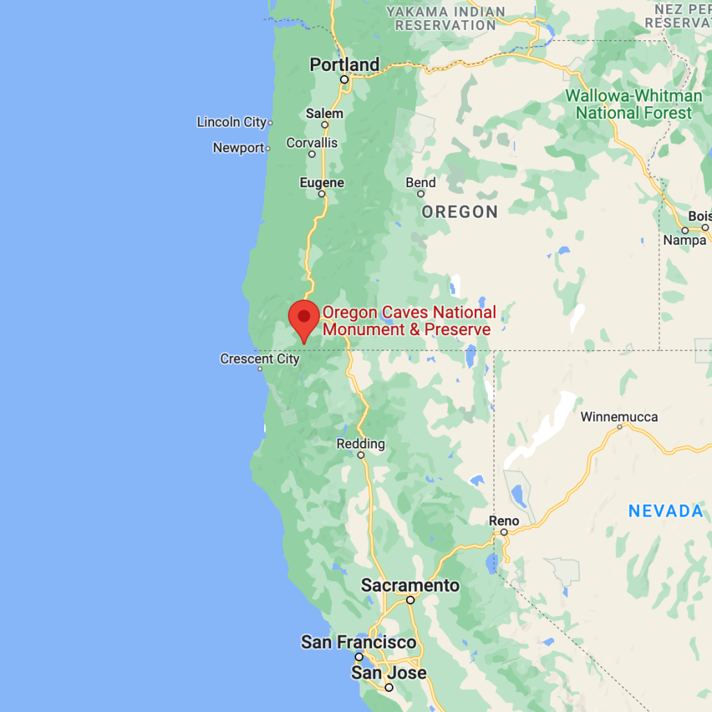
Oregon Caves National Monument and Preserve is a protected area in the northern Siskiyou Mountains of southwestern Oregon.
Whose land does it reside upon?
The Takelma (also Dagelma) are a Native American people who originally lived in the Rogue Valley of interior southwestern Oregon.
Most of their villages were sited along the Rogue River. The name Takelma means “(Those) Along the River”.
When was it established?
July 12, 1909
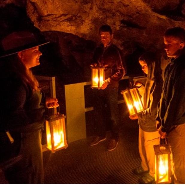
About this park:
Deep within the Siskiyou Mountains are dark, twisting passages that await your discovery. Eons of acidic water seeping into marble rock created and decorated the wondrous “Marble Halls of Oregon.”
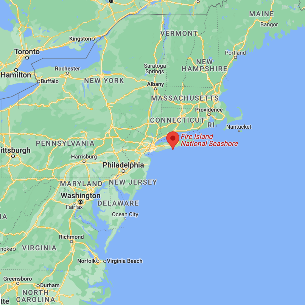
Fire Island National Seashore is in Suffolk County, New York.
Whose land does it reside upon?
Since long before the arrival of European colonizers, Indigenous Long Islanders of the Unkechaug, Secatogue, and Shinnecock tribes have shaped the historical, cultural, and natural landscape we all continue to enjoy today. For many centuries sites at Fire Island National Seashore, including the barrier beach and the William Floyd Estate, have played a critical role in indigenous life. Whether as sites for the harvesting of natural resources, seasonal settlement, or sacred grounds, these places were, and continue to be, the ancestral home of many Americans.
Though centuries of colonization and outright repression have disposed many Indigenous Long Islanders of their land, many continue to act as stewards of Fire Island and Long Island’s rich natural and cultural history.
The ancient settlement “Poospatuck ,”meaning “a little river that flows into tidal waters,” was established by ancestral Unkechaug along Poospatuck Creek, which flows into the Forge River and out into Moriches Bay. Now the site of the Unkechaug reservation, the location gave Native people easy access to fish, shellfish, waterfowl, and sea mammals including seals and whales. Poospatuck’s location along the Forge River provides easy access to the Great South Bay and to Fire Island. Today Poospatuck remains the ancestral home of the Unkechaug people. It is among the oldest Native American reservations in the United States and is formally recognized by New York State
When was it established?
September 11, 1964
About this park:
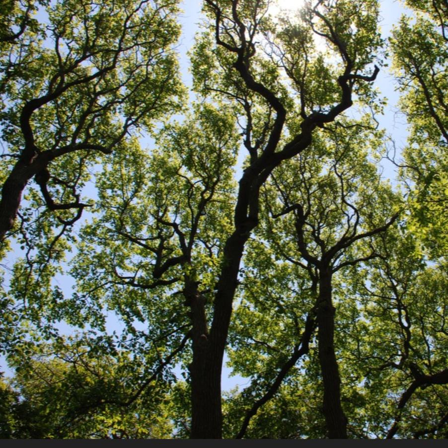
Immerse yourself in an enchanting collage of coastal life and history. Rhythmic waves, high dunes, ancient maritime forests, historic landmarks and glimpses of wildlife, Fire Island has been a special place for diverse plants, animals and people for centuries. Far from the pressure of nearby big-city life, dynamic barrier island beaches offer solitude, camaraderie, and spiritual renewal.
The island has been referred to as America’s first gay and lesbian town and served since the 1920s and 1930s as a refuge for vacationers and others who desired the more liberal attitude the island’s occupants allowed.
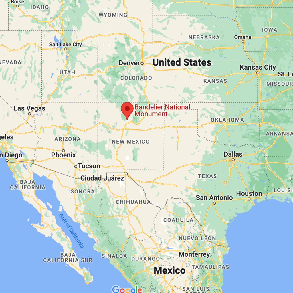
Bandelier National Monument is located near Los Alamos in Sandoval and Los Alamos counties, New Mexico.
Whose land does it reside upon?
The Ancestral Pueblo people lived here from approximately 1150 CE to 1550 CE. They built homes carved from the volcanic tuff and planted crops in mesa top fields. Corn, beans, and squash were central to their diet, supplemented by native plants and meat from deer, rabbit, and squirrel. Domesticated turkeys were used for both their feathers and meat while dogs assisted in hunting and provided companionship.
By 1550, the Ancestral Pueblo people had moved from this area to pueblos along the Rio Grande. After over 400 years the land here could no longer support the people and a severe drought added to what were already becoming difficult times. Oral traditions tell us where the people went and who their descendants are. The people of Cochiti Pueblo, located just south and east along the Rio Grande, are the most direct descendants of the Ancestral Pueblo people who built homes in Frijoles Canyon. Likewise, San Ildefonso is most closely linked to Tsankawi.
Bandelier National Monument protects over 33,000 acres of rugged but beautiful canyon and mesa country as well as evidence of a human presence here going back over 11,000 years. Petroglyphs, dwellings carved into the soft rock cliffs, and standing masonry walls pay tribute to the early days of a culture that still survives in the surrounding communities.
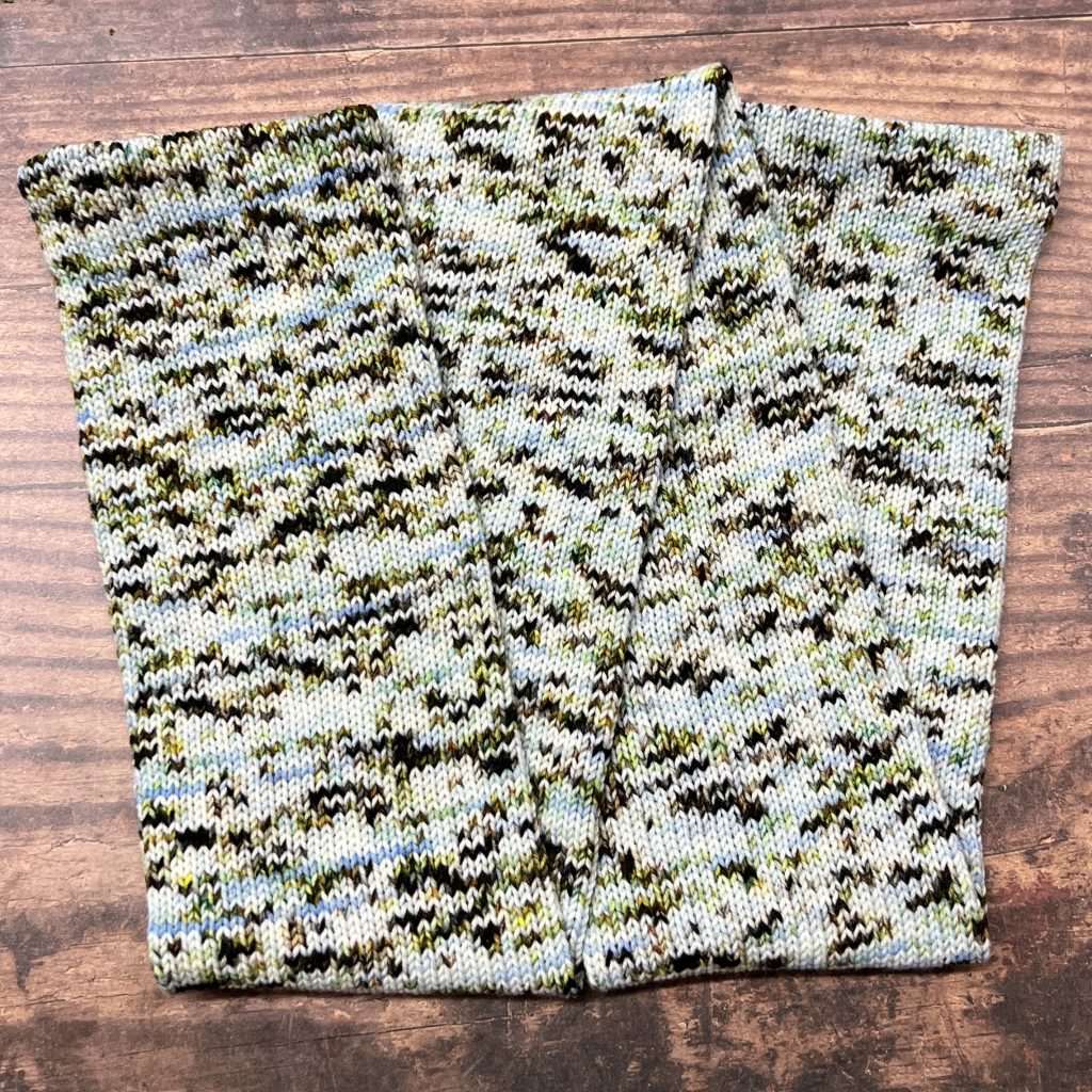
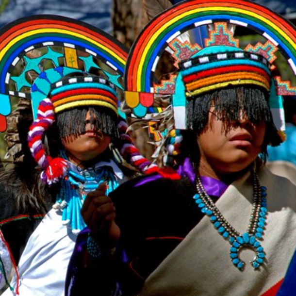
Why did we choose these colors?
We used the photo shown over the heading marked Land Acknowledgement on this page (https://www.nps.gov/band/index.htm) as our inspiration for the Bandelier colorway. The brightly-colored regalia was such an inspiration.
Montezuma Castle NM is pretty much smack-dab in the center of Arizona.
Whose land does it reside upon?
The Sinagua were the group of people who lived in the dwellings at Montezuma Castle and Tuzigoot. Although people were living in the area much earlier, the Sinagua began building permanent living structures – the dwellings you see at the monument – around 1050 CE.
There are many possible reasons the Sinagua chose to build their homes in the cliffs. At Montezuma Castle, the cliff faces south, so the dwellings are warm in the winter and cool in the summer. The high location also protected them from damage caused by the annual flooding of Beaver Creek. The dwellings may also have been built high up for protection or to help the Sinagua view approaching travelers. More than likely, the cliff dwellings served all these functions and more, much like our houses today.
Despite being called a castle, the dwelling at Montezuma Castle is actually a collection of 20 rooms originally belonging to multiple families, similar to a modern-day apartment building. Other apartment-style buildings called pueblos, like those found at Montezuma Well and Tuzigoot also had multiple rooms and were built with local materials. But unlike Montezuma Castle, these pueblos are free-standing and have large common areas for gatherings. The Sinagua lived in pueblos and cliff dwellings until around 1400 CE.
When was it established?
December 8, 1906
About this park:
Montezuma Castle National Monument protects a set of well-preserved dwellings located in Camp Verde, Arizona, which were built and used by the Sinagua people, a pre-Columbian culture closely related to the Hohokam and other indigenous peoples of the southwestern United States, between approximately AD 1100 and 1425.
This 20 room high-rise apartment, nestled into a towering limestone cliff, tells a story of ingenuity, survival and ultimately, prosperity in an unforgiving desert landscape.
Montezuma Well, another feature at the park, is a limestone sinkhole, continuously fed with water from an underground spring. Water that falls from rain or snow on the nearby Mogollon Rim trickles down through the rock until it reaches the spring. The pressure from the vent then pushes the water up to the surface. The water takes as long as 10,000 years to travel from the Rim to the Well!
Montezuma Well is a near constant aquatic environment. The Well formed when the limestone collapsed sometime between 12 and 15 thousand years ago. Water is fed into the Well through several vents at the bottom, and exits the Well through a swallet and cave system, with the outlet draining into a prehistoric irrigation canal. Both the water level and temperature are nearly constant throughout the year, and the well has such extreme chemical conditions that no fish can survive, and the organisms that do live in the water have had to adapt in order to survive.
Why did we choose these colors?
We used images of the deeps in Montezuma Well to inspire our colorway.
The Martin Luther King Jr. National Historical Park covers about 35 acres and includes several sites in Atlanta, Georgia.
Whose land does it reside upon?
Atlanta, Georgia was established on the traditional homelands of the Muscogee Creek and Cherokee Peoples.
When was it established?
The park was designated as a National Historic Site on October 10, 1980.
About this park:
A young boy grows up in a time of segregation…A dreamer is moved by destiny into leadership of the modern civil rights movement…This was Martin Luther King, Jr. The park includes his childhood home, the “I Have a Dream” World Peace Rose Garden, the first racially-integrated fire station in Atlanta, and Ebenezer Baptist Church, the church where MLK Jr was minister.
Why did we choose these colors?
A photo of MLK Jr.’s childhood home inspired our colorway.
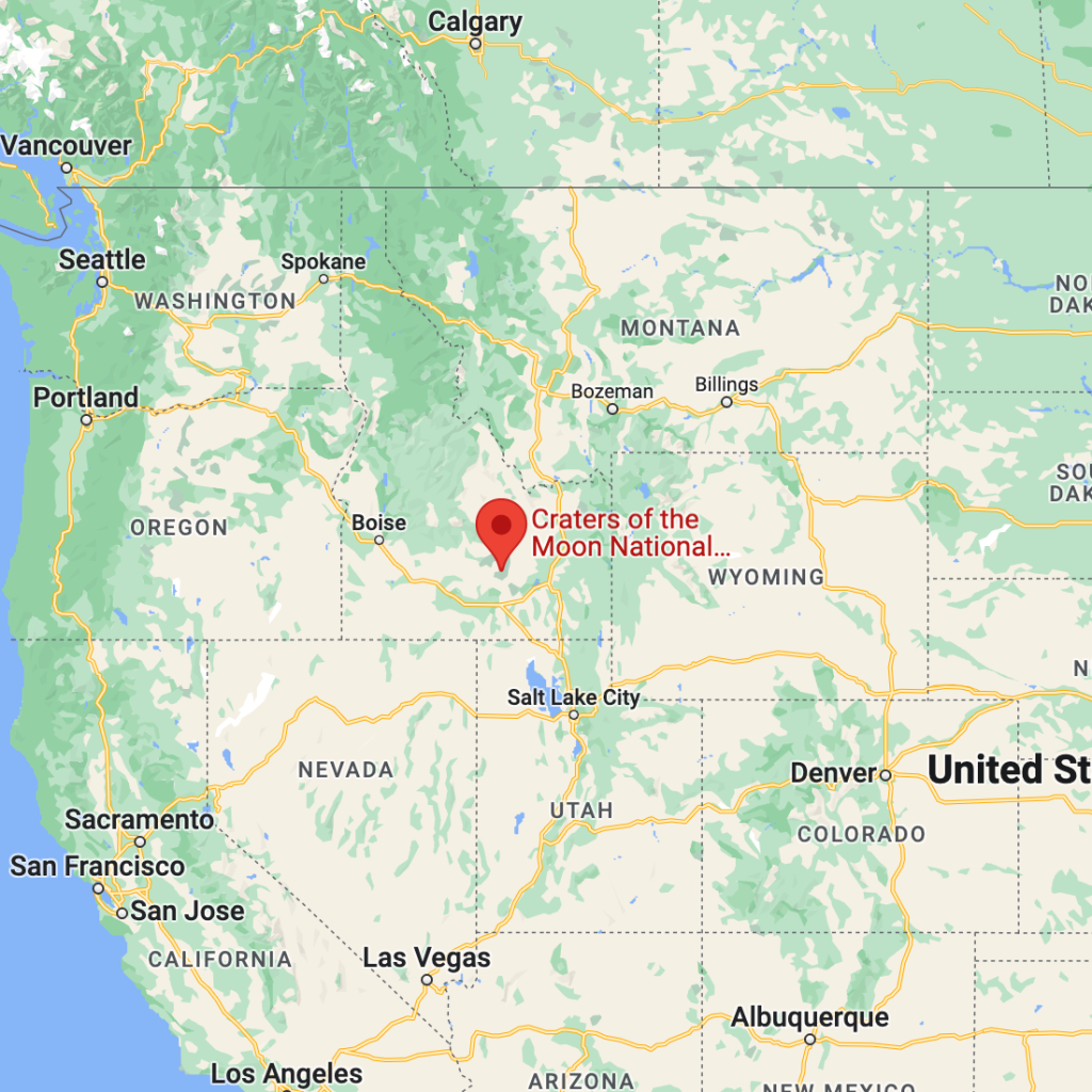
Craters of the Moon National Monument and Preserve is a U.S. national monument and national preserve in the Snake River Plain in central Idaho. It is along US 20, between the small towns of Arco and Carey, at an average elevation of 5,900 feet above sea level.
Whose land does it reside upon?
Humans have inhabited the Snake River Plain since at least the end of the last Ice Age, first showing up in the archeological record 12,000- 14,000 years ago. Members of the Shoshone and Bannock tribes and their ancestors had the most contact among native inhabitants with the lava fields of Craters of the Moon. The Shoshone were a branch of the Northern Shoshone that inhabited the upper Columbia River Basin, while the Bannock were a branch of the Northern Paiute. These two groups both occupied the Snake River Plain, intermingled, travelled and hunted together, and otherwise coexisted while speaking slightly different languages.
When was it established?
The Monument was established on May 2, 1924
About this park:
Craters of the Moon is a vast ocean of lava flows with scattered islands of cinder cones and sagebrush. We invite you to explore this “weird and scenic landscape” where yesterday’s volcanic events are likely to continue tomorrow. The Monument contains numerous cultural as well as natural resources.
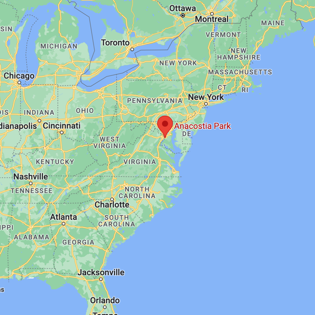
Anacostia Park is located in the heart of Washington, DC.
Whose land does it reside upon?
Long before the arrival of the first European explorers, a vibrant American Indian culture evolved around the abundance of fish, game, and other natural resources in the Anacostia River area for at least 10,000 years. In the 17th century, the Nacotchtank Indians were the primary residents along the eastern shore of the Anacostia. Prosperous farmers, gatherers, hunters, and traders, the Nacotchtanks lived in the vicinity of what is now Bolling Air Force Base.
The District of Columbia shares borders with Maryland and Virginia, and connect with lands along the Anacostia and Potomac River. These river systems and current national parks are where the Piscataway, Pamunkey, the Nentego (Nanichoke), Mattaponi, Chickahominy, Monacan, and the Powhatan cultures thrived.
When was it established?
Although the foundations of the park were being laid as early as 1901, in 1933, management and oversight responsibilities for Anacostia Park were turned over to the National Park Service.
About this park:
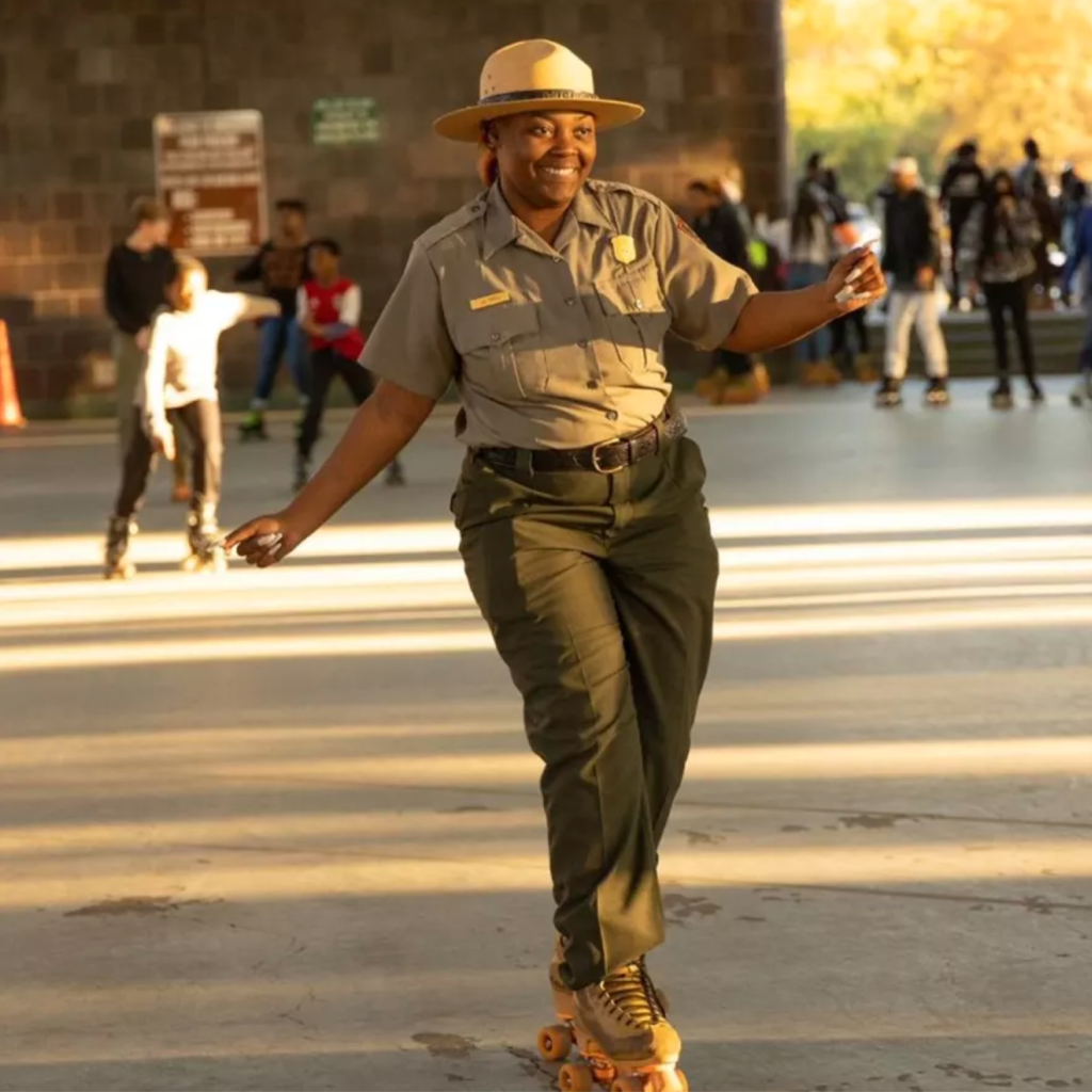
This small but mighty park in the heart of the nation’s capital was developed as a refuge from the hustle and bustle of DC. There are walking and hiking trails, wetlands to explore and admire, fishing, biking, and the reason we are featuring it this year, a roller skating rink (the ONLY roller skating rink in the National Park Service, FYI)! Folks can skate for free from Memorial Day through Labor Day.
Why did we choose these colors?
We used the photo of a happily-skating Park Ranger as the inspiration for our Anacostia Park colorway.