It’s time for the annual National Parks Club! Find out information about participating shops and more here.
Where is it located?
San Juan National Historic Site is located in the Old San Juan section of San Juan, Puerto Rico.
Whose land does it reside upon?
Puerto Rico’s first inhabitants were the Taínos, a group of indigenous people who lived on the island for hundreds of years before the Spanish arrival.
When was it established?
February 14, 1949
About this park:
The parks website doesn’t have much about the people who lived on the island before Europeans descended, nor does it talk about the enslaved people who were brought to the island to work the plantations, so we aren’t doing a lot of info-gathering from that site for this park. The park itself (and by extension, it’s website) concerns itself mostly with the colonizer history, and the strategic location of the island and its capitol city for wartime maneuvers. If you do want to read about the colonizer history, here’s the link: https://www.nps.gov/saju/learn/historyculture/index.htm
On December 6, 1983, the historic site and La Fortaleza were together designated a World Heritage Site under the name La Fortaleza and San Juan National Historic Site in Puerto Rico “because of its outstanding, universal cultural value.” It quickly grew to become one of the biggest tourist attractions in Puerto Rico and the Caribbean, drawing more than 1,400,000 visitors in 2016.
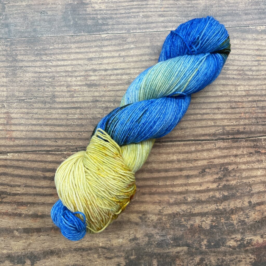
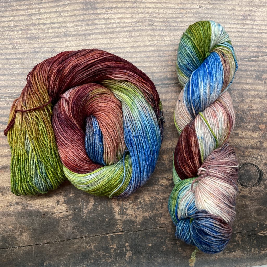
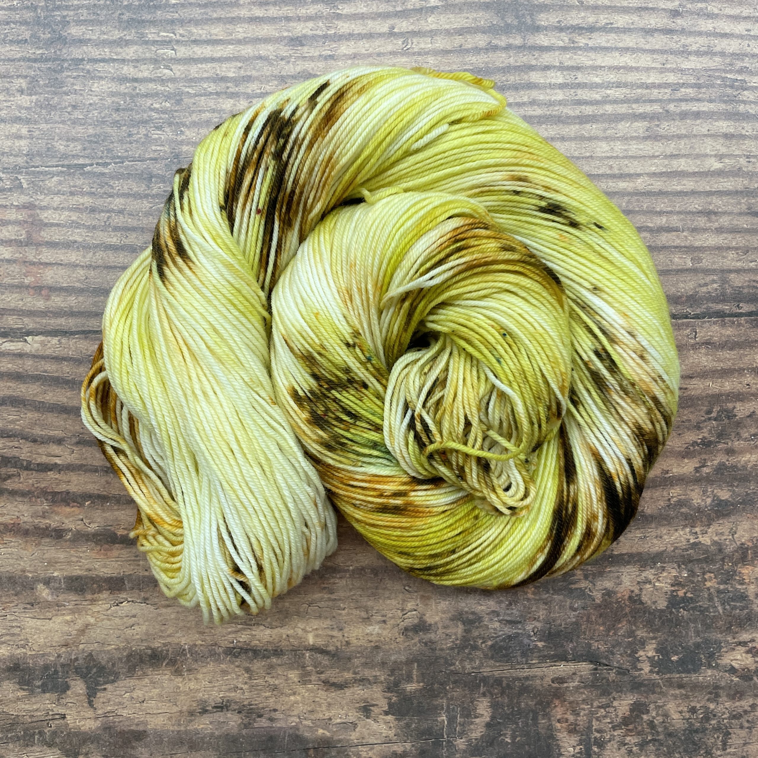
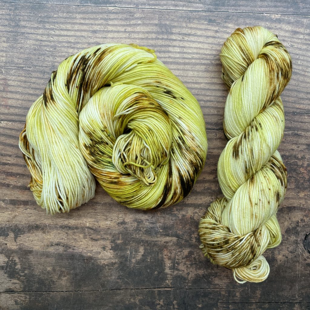
Why did we choose these colors?
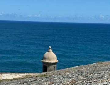
We used this photo that our friend Jenna Kate shared:
For more information:
NPS website: https://www.nps.gov/saju/index.htm
Instagram: https://www.instagram.com/sanjuannps/
Facebook: https://www.facebook.com/SanJuanNPS/