National Parks 2020: Great Sand Dunes National Park and Preserve

It’s time once again to explore more National Parks through yarny goodness. Over the past four years, we have explored the United States through its National Parks, and in 2020, we will have represented them all. Many of these are lesser-known National Parks, and we hope you spend some time exploring them through the links we’ve shared.

Check out our Socks on Vacay/Socks on Staycay summertime sock knitting collaboration with our friend Shannon Squire, too: https://shannonsquire.com/socks-on-vacay-staycay-2020/

Thanks for exploring parks and making socks with us once again this summer! To get your yarn, check out our list of LYS’s offering National Parks (Parks yarn will ONLY be available at our LYS partners through the summer): https://knittedwit.com/

Where is this National Park located?

Great Sand Dunes National Park and Preserve is located in Southern Colorado.

Whose land does this National Park reside upon?

Many Native peoples lived on or around the land on which the park now occupies, including the Uts, the Jacarilla Apaches, the Navajo, and the Twea/Tiwa. The traditional Ute phrase for the Great Sand Dunes is Saa waap maa nache (sand that moves). Jicarilla Apaches settled in northern New Mexico and called the dunes Sei-anyedi (it goes up and down). Blanca Peak, just southeast of the dunes, is one of the four sacred mountains of the Navajo, who call it Sisnaajini (White Shell Mountain). These various tribes collected the inner layers of bark from ponderosa pine trees for use as food and medicine. The people from the Tewa/Tiwa-speaking pueblos along the Rio Grande remember a traditional site of great importance located in the valley near the dunes: the lake through which their people emerged into the present world. They call the lake Sip’ophe (Sandy Place Lake), which is thought to be the springs or lakes immediately west of the dunefield.

When was it established as a National Park?

March 17, 1932

Why is this park amazing?

This park is home to the largest dunes in North America, huge dunes like the towering Star Dune, and for the seasonal Medano Creek and beach created at the base of the dunes. The backcountry Medano Pass Primitive Road winds through a canyon toward the Sangre de Cristo mountains. Trails lead to forests, wetlands and alpine lakes like Medano Lake, which is home to trout and tundra wildlife.

Why did we choose these colors?

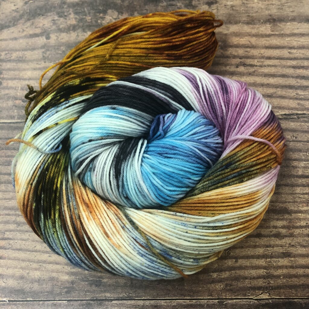
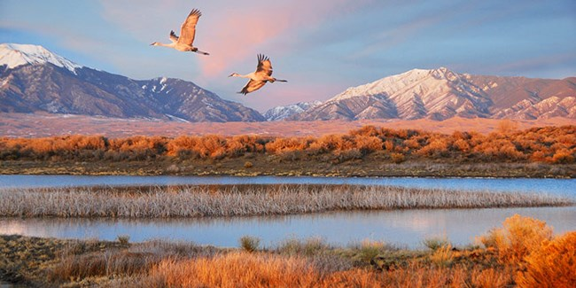
The photo we found perfectly captured the park at sunset, and we tried to pull out the sky, the mountains, the water, the reeds, the wildlife. It’s a dreamy skein of a dreamy photo of what we can only imagine is a dreamy space.

For more information:

National Parks 2020: Lake Clark National Park and Preserve

It’s time once again to explore more National Parks through yarny goodness. Over the past four years, we have explored the United States through its National Parks, and in 2020, we will have represented them all. Many of these are lesser-known National Parks, and we hope you spend some time exploring them through the links we’ve shared.

Check out our Socks on Vacay/Socks on Staycay summertime sock knitting collaboration with our friend Shannon Squire, too: https://shannonsquire.com/socks-on-vacay-staycay-2020/

Thanks for exploring parks and making socks with us once again this summer! To get your yarn, check out our list of LYS’s offering National Parks (Parks yarn will ONLY be available at our LYS partners through the summer): https://knittedwit.com/

Where is this National Park located?

Lake Clark National Park is located in southwest Alaska, about 100 miles southwest of Anchorage.

Whose land does this National Park reside upon?

people first came to the Lake Clark region around the end of the last ice age. Dena’ina, Yup’ik, and Sugpiaq peoples. The Dena’ina people have called Qizhjeh Vena, also known as Lake Clark, home for thousands of years, and still reside here, living with and off the land, and working to preserve their culture.

When was it established as a National Park?

December 2, 1980

Why is this park amazing?

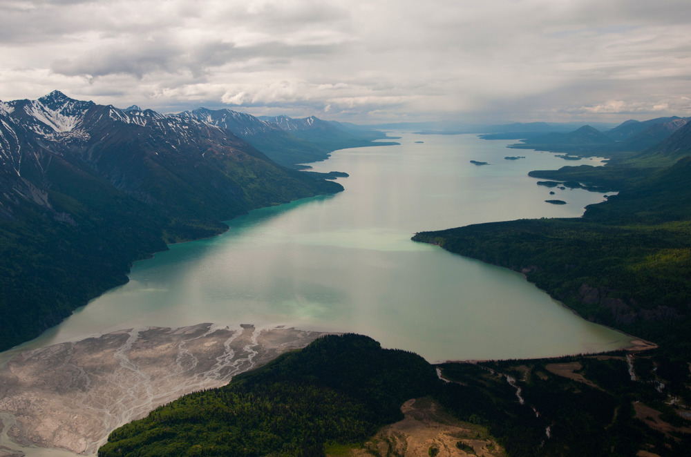
Volcanoes steam, salmon run, bears forage, and craggy mountains reflect in shimmering turquoise lakes. Here, too, local people and culture still depend on the land and water. Lake Clark preserves the ancestral homelands of the Dena’ina people, an intact ecosystem at the headwaters of the largest sockeye salmon fishery in the world, and a rich cultural wilderness.

Why did we choose these colors?

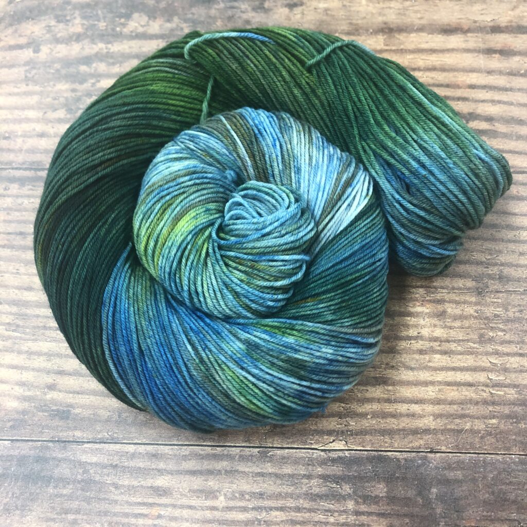
With a park name of Lake Clark, OF COURSE we’re going to showcase the lake and the area surrounding it for our colorway. Rich blues and greens run through the skein, making us all want to jump in a lake in celebration.

For more information:

National Parks 2020: Saguaro National Park

It’s time once again to explore more National Parks through yarny goodness. Over the past four years, we have explored the United States through its National Parks, and in 2020, we will have represented them all. Many of these are lesser-known National Parks, and we hope you spend some time exploring them through the links we’ve shared.

Check out our Socks on Vacay/Socks on Staycay summertime sock knitting collaboration with our friend Shannon Squire, too: https://shannonsquire.com/socks-on-vacay-staycay-2020/

Thanks for exploring parks and making socks with us once again this summer! To get your yarn, check out our list of LYS’s offering National Parks (Parks yarn will ONLY be available at our LYS partners through the summer): https://knittedwit.com/

Where is this National Park located?

Saguaro National Park is located in southern Arizona; its 2 sections are on either side of the city of Tucson.

Whose land does this National Park reside upon?

About 2,300 years ago, a group we now call the Hohokam had settled in southern Arizona – including the Santa Cruz valley.  By AD 700, they had a well-developed agricultural economy including extensive irrigation systems. Hohokam villages existed in the areas surrounding what is now Tuscon and Saguaro National Park for about 600 years – along Rincon Creek and its tributary washes. Then, during the 15th century, the Hohokam culture simply vanished. Other native people that have resided in this area include Akimel O’odham (also known as Pima), Apache, Hopi, Maricopa, Yaqui, Tohono O’odham (“Desert People”), Yavapai, and Zuni.

When was it established as a National Park?

October 14, 1994

Why is this park amazing?

The park is named for the large saguaro cactus, native to its desert environment. In the western Tucson Mountain District, Signal Hill Trail leads to petroglyphs of the ancient Hohokam people. In the eastern Rincon Mountain District, Cactus Forest Drive is a loop road with striking views of the desert landscape.

Why did we choose these colors?

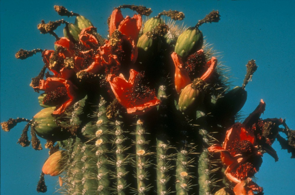
We chose a photo of a saguaro in bloom, its green and orange striking against the blue Arizona sky. 

For more information:

National Parks 2020: Kobuk National Park

It’s time once again to explore more National Parks through yarny goodness. Over the past four years, we have explored the United States through its National Parks, and in 2020, we will have represented them all. Many of these are lesser-known National Parks, and we hope you spend some time exploring them through the links we’ve shared.

Check out our Socks on Vacay/Socks on Staycay summertime sock knitting collaboration with our friend Shannon Squire, too: https://shannonsquire.com/socks-on-vacay-staycay-2020/

Thanks for exploring parks and making socks with us once again this summer! To get your yarn, check out our list of LYS’s offering National Parks (Parks yarn will ONLY be available at our LYS partners through the summer): https://knittedwit.com/

Where is this National Park located?

Kobuk Valley National Park is located in the Arctic region of northwestern Alaska, about 25 miles north of the Arctic Circle.

Whose land does this National Park reside upon?

Kobuk Valley National Park has been home to humans for as long as there have been people on this continent. During the last Ice Age, the valley remained free of ice and teamed with big game, including the woolly mammoth. Some of America’s very first inhabitants called Kobuk Valley their home. At a wide bend in the Kobuk River called Onion Portage, archeologists have found evidence that for at least 9,000 years, the caribou herd has been crossing the river there during their annual migrations. For just as long, humans have been gathering there to hunt them. Local Inupiaq Eskimos still hunt the caribou as they cross the Kobuk River at Onion Portage, just as their ancestors have done for ten thousand years. 

When was it established as a National Park?

December 2, 1980

Why is this park amazing?

Kobuk Valley National Park is home to a rich and varied landscape. The mighty boreal forest reaches its northern limits here before giving way to the rolling expanse of the arctic tundra, creating an open woodland of birch and spruce carpeted with moss and caribou lichen. The park is bisected by the Kobuk River, which slowly meanders its way across the landscape for 61 miles. To the north of the river stretch the peaks of the Baird Mountains, while to the south lie the Great Kobuk Sand Dunes, the largest active sand dunes in the Arctic. Half a million caribou migrate through, their tracks crisscrossing sculpted dunes.

Why did we choose these colors?

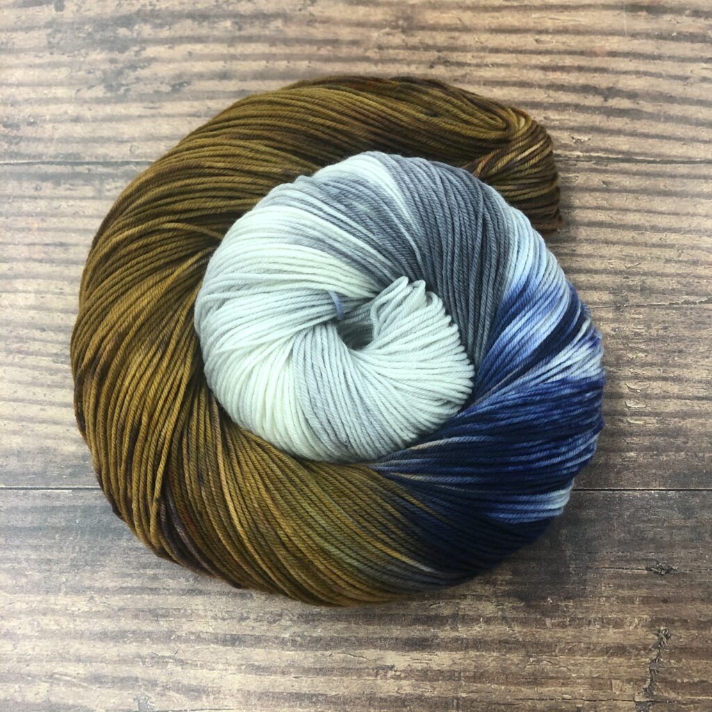
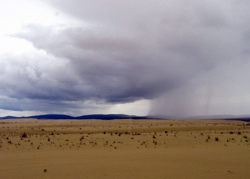
The photo we chose to recreate in our Kobuk Valley skein shows the wide open sky, peppered with heavy clouds, over the sand dune’y valley. The mountains beckon in the distance. The skein mixes those blue-greys and browns in the most delightful way.

For more information:

National Parks 2020: Mt. Hood National Park

It’s time once again to explore more National Parks through yarny goodness. Over the past four years, we have explored the United States through its National Parks, and in 2020, we will have represented them all. Many of these are lesser-known National Parks, and we hope you spend some time exploring them through the links we’ve shared.

Check out our Socks on Vacay/Socks on Staycay summertime sock knitting collaboration with our friend Shannon Squire, too: https://shannonsquire.com/socks-on-vacay-staycay-2020/

Thanks for exploring parks and making socks with us once again this summer! To get your yarn, check out our list of LYS’s offering National Parks (Parks yarn will ONLY be available at our LYS partners through the summer): https://knittedwit.com/

Where is this National Park located?

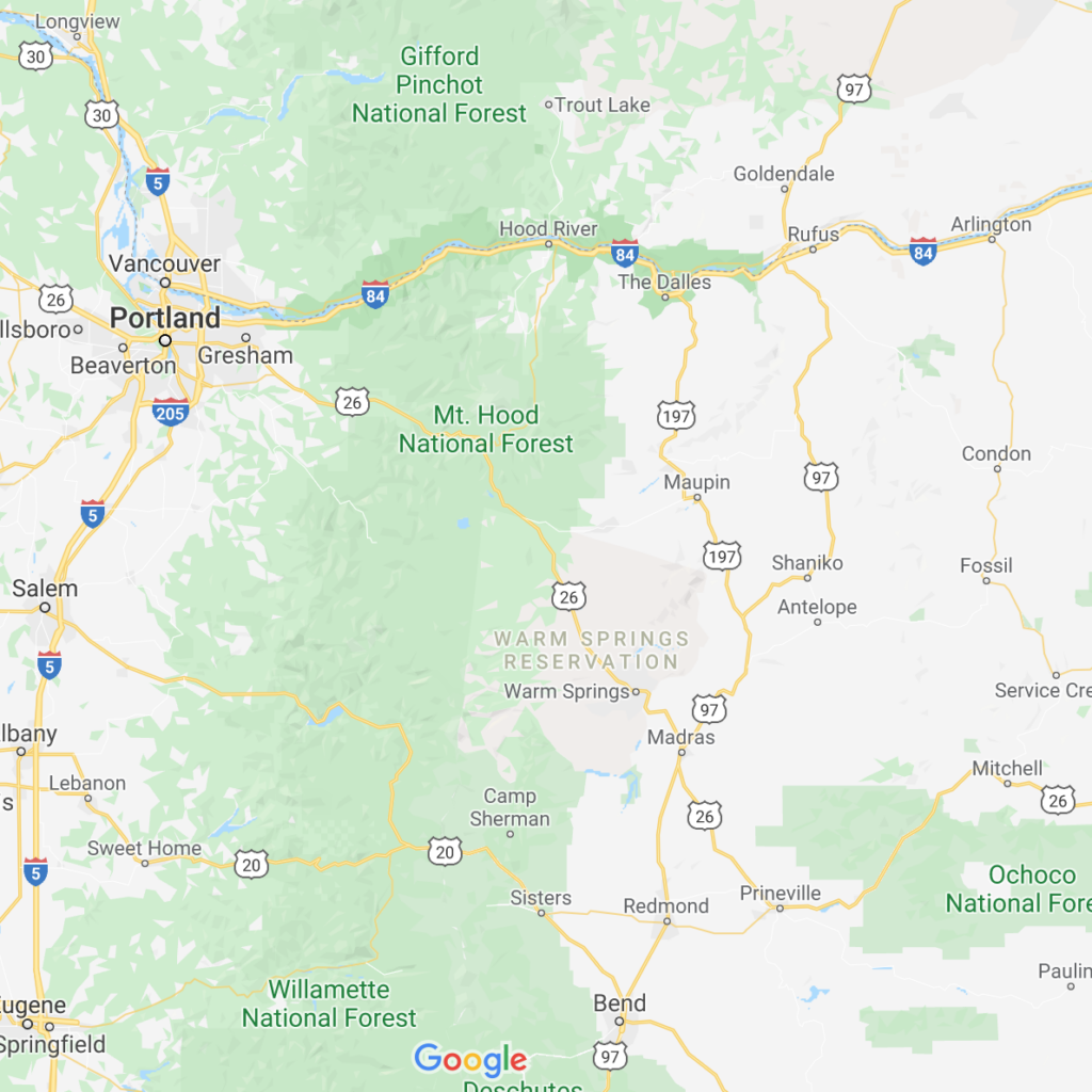
Mt. Hood National Forest is located in Oregon, east of Portland and south of the Columbia River Gorge.

Whose land does this National Park reside upon?

The Molalas, Kalapuyans, Chinookan Clackamas, Shinookan Wascos, Northern Paiute peoples, and Sahaptin speakers all lived within the area and many of them called the mountain Wy’East. This name has continued to live on in the community through names of streets, businesses, and schools.

When was it established as a National Park?

July 1, 1908

Why is this park amazing?

Spanning over a million acres and home to vastly different terrains, Mt. Hood National Forest boasts 8 federally-mandated wilderness areas, encompassing about a third of the entire forest. Mt. Hood itself, a dormant volcano capped by glaciers, is home to ski trails, alpine lakes, and the 1930s New Deal-era Timberline Lodge.

Why did we choose these colors?

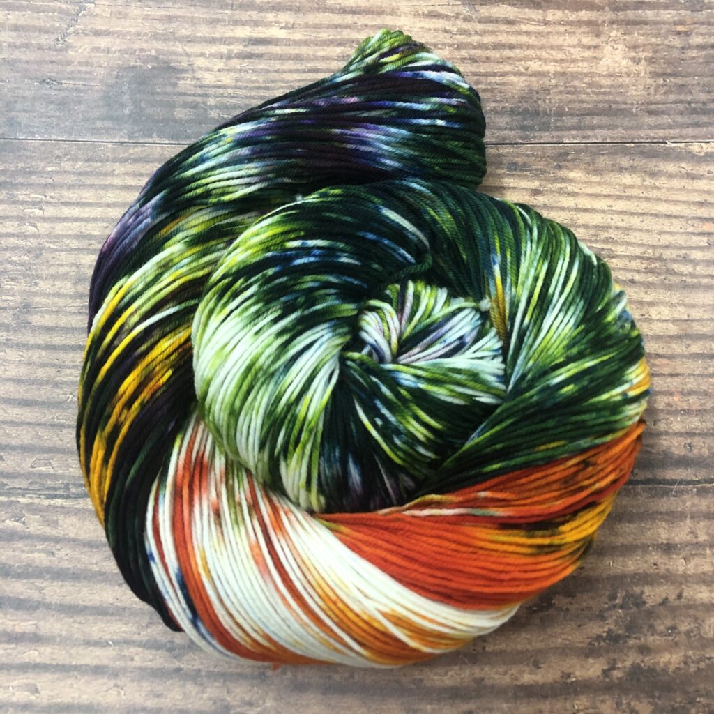
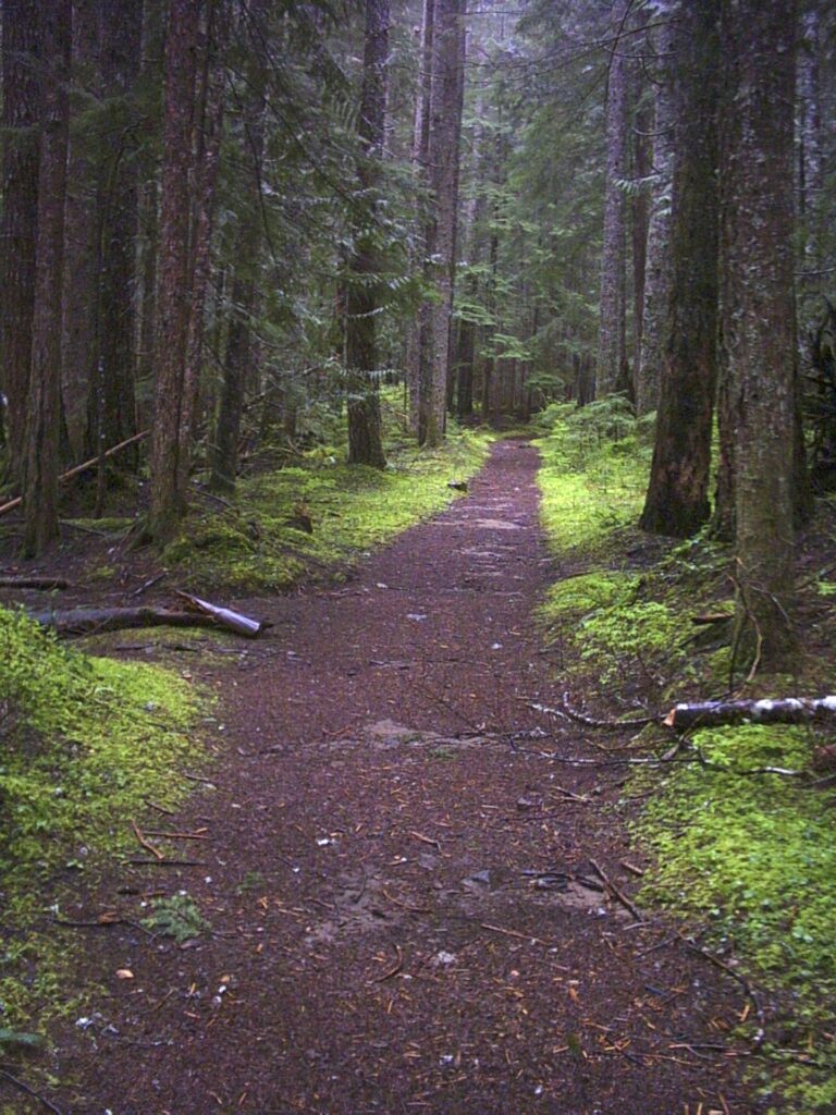
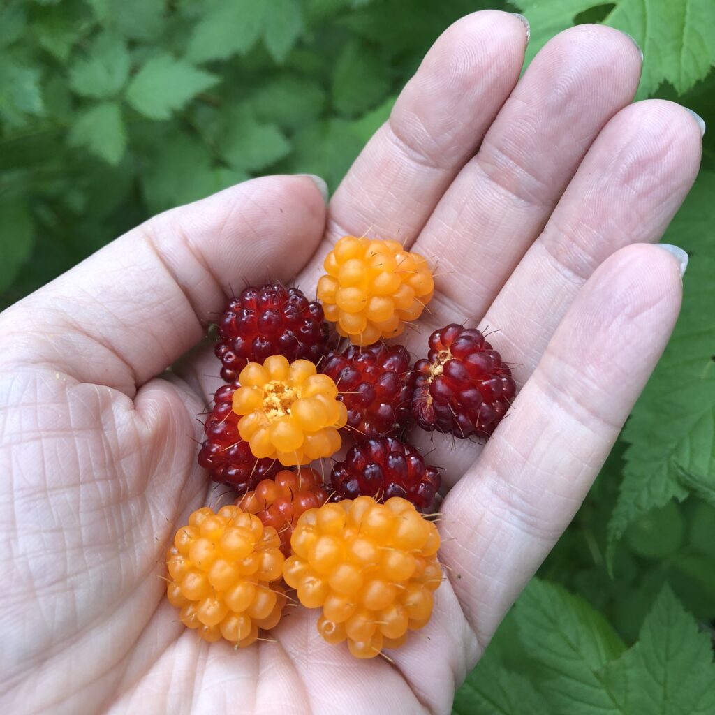
Mountain berries, and most especially LJ’s favorite salmonberries, sprinkled throughout the lush forest, are the inspiration for our Mt. Hood National Forest colorway. We here at Knitted Wit are fortunate enough to be able to get to Mt. Hood quickly and easily, and it’s a great escape from city life.

For more information:

National Parks 2020: Glacier Bay National Park

It’s time once again to explore more National Parks through yarny goodness. Over the past four years, we have explored the United States through its National Parks, and in 2020, we will have represented them all. Many of these are lesser-known National Parks, and we hope you spend some time exploring them through the links we’ve shared.

Check out our Socks on Vacay/Socks on Staycay summertime sock knitting collaboration with our friend Shannon Squire, too: https://shannonsquire.com/socks-on-vacay-staycay-2020/

Thanks for exploring parks and making socks with us once again this summer! To get your yarn, check out our list of LYS’s offering National Parks (Parks yarn will ONLY be available at our LYS partners through the summer): https://knittedwit.com/

Where is this National Park located?

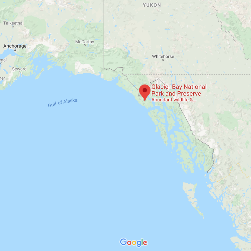
Glacier Bay National Park is located in Southeast Alaska west of Juneau.

Whose land does this National Park reside upon?

The Tligit were inhabitants of this land until the glacial surge forced them to abandon their settlements, but they continued their connection to this land through the hardships that the surge inspired. They returned to Glacier Bay after the glaciers receded, and it is now known as Sit’ Eeti Gheeyi or “the bay in place of the glacier.”

When was it established as a National Park?

December 2, 1980

Why is this park amazing?

This is one heck of an interesting park. It appears that the lands upon which Glacier Bay National Park is located were habitable up until about 300 years ago, when a glacial surge caused human inhabitants to flee. The glacier covered the area until about 200 years ago, when ice melt occurred to an extent that the lands were once again uncovered. As recently as 1750, a single glacier thousands of feet thick filled what is now a 65-mile long fjord. This glacial retreat has exposed a resilient land that hosts a succession of marine and terrestrial life.

Why did we choose these colors?

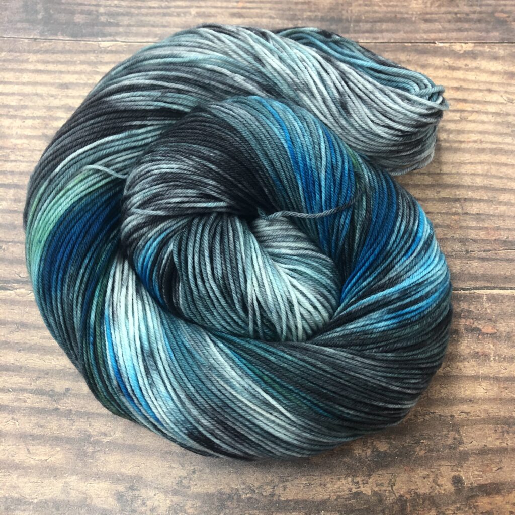
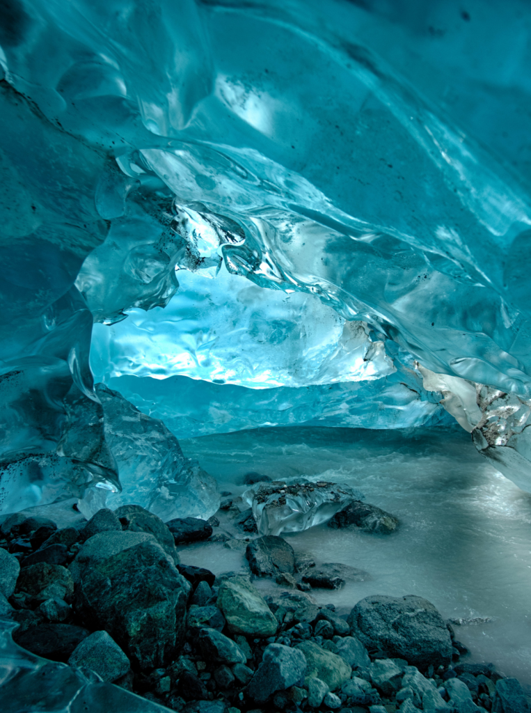
Our Glacier Bay skein contains blues, blues, and more blues, paired with the blue grey of the rocks that litter the glacial remnants and waters.  

For more information:

National Parks 2020: Gateway Arch National Park

It’s time once again to explore more National Parks through yarny goodness. Over the past four years, we have explored the United States through its National Parks, and in 2020, we will have represented them all. Many of these are lesser-known National Parks, and we hope you spend some time exploring them through the links we’ve shared.

Check out our Socks on Vacay/Socks on Staycay summertime sock knitting collaboration with our friend Shannon Squire, too: https://shannonsquire.com/socks-on-vacay-staycay-2020/

Thanks for exploring parks and making socks with us once again this summer! To get your yarn, check out our list of LYS’s offering National Parks (Parks yarn will ONLY be available at our LYS partners through the summer): https://knittedwit.com/

Where is this National Park located?

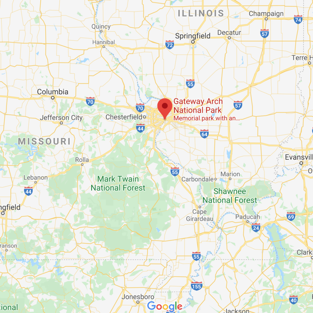
Gateway Arch National Park is located in St. Louis, Missouri, near the starting point of the Lewis and Clark Expedition.

Whose land does this National Park reside upon?

The land on which sits the city of St. Louis has a long history of housing native peoples, and an ugly history of colonizers decimating those populations. One of the first cultures apparent were the Mississippians, a civilization that built complex earthworks across much of the continent, from the Atlantic Ocean to the Rocky Mountains. After them came the Osage, Miami, Sioux and Haudenosauneega (also called Iroquois, which was actually a confederacy of six indigenous nations, as opposed to a singular culture). Experts have suggested that 90% of the native population was lost through war, enslavement, societal disruption and, very most especially pandemic disease, including smallpox and measles. Yikes and ugh.

When was it established as a National Park?

February 22, 2018

Why is this park amazing?

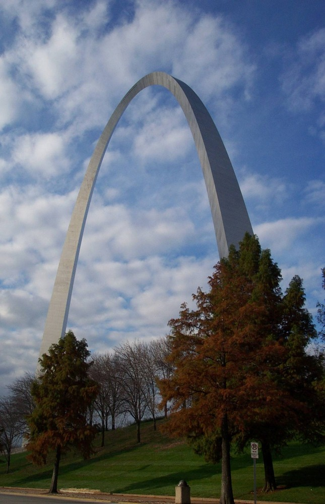
Well, we don’t know about amazing, but the Gateway Arch reflects St. Louis’ role in the Westward Expansion of the United States during the nineteenth century. The park is a memorial to Thomas Jefferson’s role in opening the West, to the pioneers who helped shape its history, and to Dred Scott who sued for his freedom in the Old Courthouse.

Why did we choose these colors?

The Gateway Arch sits in an urban park, so our colors reflect the metal of the park, the blue of the sky, the white of the clouds, and the green of the grass and trees. 

For more information:

National Parks 2020: Canyonlands National Park

It’s time once again to explore more National Parks through yarny goodness. Over the past four years, we have explored the United States through its National Parks, and in 2020, we will have represented them all. Many of these are lesser-known National Parks, and we hope you spend some time exploring them through the links we’ve shared.

Check out our Socks on Vacay/Socks on Staycay summertime sock knitting collaboration with our friend Shannon Squire, too: https://shannonsquire.com/socks-on-vacay-staycay-2020/

Thanks for exploring parks and making socks with us once again this summer! To get your yarn, check out our list of LYS’s offering National Parks (Parks yarn will ONLY be available at our LYS partners through the summer): https://knittedwit.com/

Where is this National Park located?

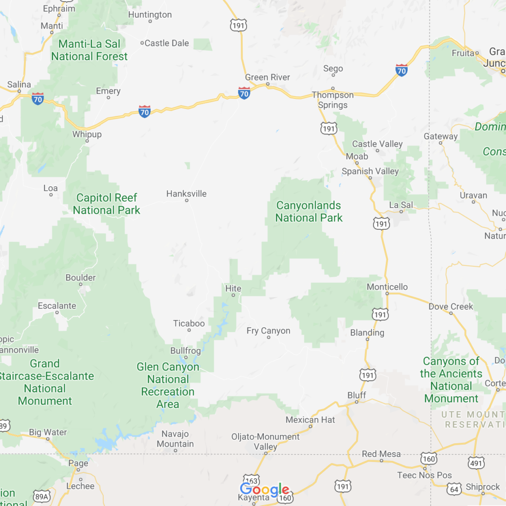
Canyonlands National Park is located in Southeastern Utah.

Whose land does this National Park reside upon?

Current Canyonlands National Park has been home to many peoples over the last few millennia. From Nomadic groups of hunter-gatherers roaming throughout the southwest from 8,000 BCE (Before Common Era) to 500 BCE; to the ancestral Puebloan (formerly known as Anasazi) and Fremont people who first began to domesticate animals and plants on this land; to the Utes, Navajo, and Pueblo peoples who began to populate this land in around 800 BCE, Southeastern Utah has a rich history of peoples and culture. Petroglyphs and rock art abound in this park, as well as dwellings and settlements. 

When was it established as a National Park?

September 12, 1964

Why is this park amazing?

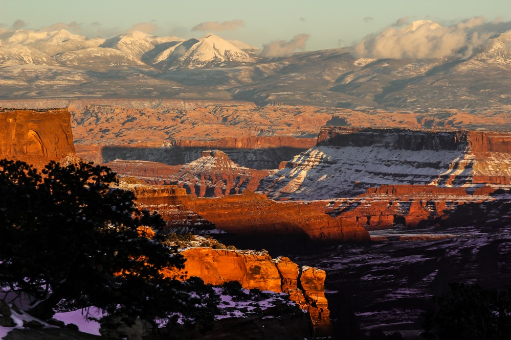
Canyonlands is a stark wonderland, filled with countless canyons and fantastically formed buttes carved by the Colorado River and its tributaries. Rivers divide the park into four districts: Island in the Sky, The Needles, The Maze, and the rivers themselves.

Why did we choose these colors?

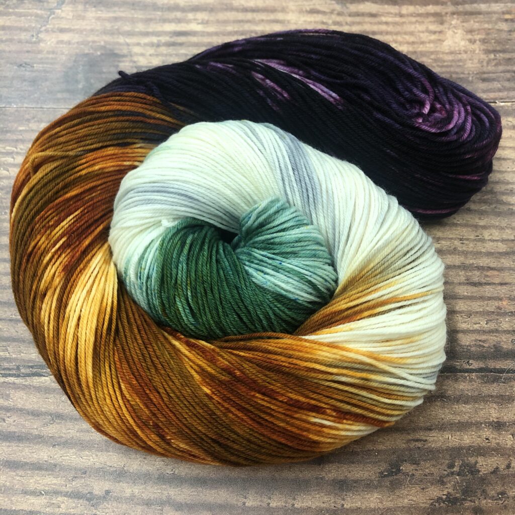
We chose an image of Canyonlands with a dusting of snow, because we wanted to show the stark beauty of this place. The skein contains it all: the orange rocks, the white snow, the purple shadows, the greenery that survives even in the harshest conditions. 

For more information:

National Parks 2020: Pinnacles National Park

It’s time once again to explore more National Parks through yarny goodness. Over the past four years, we have explored the United States through its National Parks, and in 2020, we will have represented them all. Many of these are lesser-known National Parks, and we hope you spend some time exploring them through the links we’ve shared.

Check out our Socks on Vacay/Socks on Staycay summertime sock knitting collaboration with our friend Shannon Squire, too: https://shannonsquire.com/socks-on-vacay-staycay-2020/

Thanks for exploring parks and making socks with us once again this summer! To get your yarn, check out our list of LYS’s offering National Parks (Parks yarn will ONLY be available at our LYS partners through the summer): https://knittedwit.com/

Where is this National Park located?

Pinnacles National Park is located east of the Salinas Valley in Central California.

Whose land does this National Park reside upon?

From the nps website: “Pinnacles National Park continues to learn about the history of Native peoples, but many archaeological records are incomplete. There was no written record prior to European colonization as most stories and knowledge were passed from generation to generation in an oral tradition. Unfortunately, this transfer of knowledge was disrupted by the arrival of the Spanish in 1769 and the introduction of the mission system which prohibited people from speaking their Native language or engaging in their cultural practices. During the process of colonization that continued with Mexicans and then early Americans, it was safer to hide one’s native identity and pretend to be Spanish. Some people retained knowledge from the time before the mission and many Californian Indian people are working today to ‘relearn’ as much of their traditional ecological knowledge as they can.”

Currently, Members of the Amah Mutsun Tribal Band and Chalone Indian Nation volunteer, work, and participate in eco-cultural restoration projects at Pinnacles.

When was it established as a National Park?

January 10, 2013

Why is this park amazing?

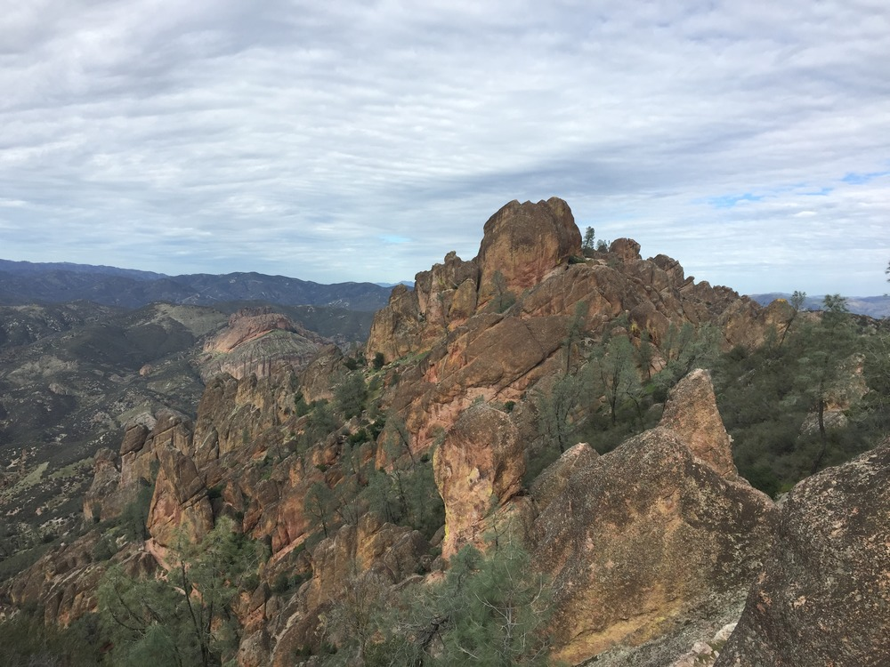
A multi-volcanic eruption event 23 million years ago become Pinnacles National Park, and the landscape reflects this massive natural phenomena. You can hike through rare talus caves, emerging to witness huge rock spires teeming with life: prairie and peregrine falcons, golden eagles, and the inspiring California condor.

Why did we choose these colors?

The colorway we created for Pinnacles reflects the volcanic debris, the massive rock spires, the sky, the woodlands, all mushed into a skein-y representation of this breathtaking park.

For more information:

National Parks 2020: Hot Springs National Park

It’s time once again to explore more National Parks through yarny goodness. Over the past four years, we have explored the United States through its National Parks, and in 2020, we will have represented them all. Many of these are lesser-known National Parks, and we hope you spend some time exploring them through the links we’ve shared.

Check out our Socks on Vacay/Socks on Staycay summertime sock knitting collaboration with our friend Shannon Squire, too: https://shannonsquire.com/socks-on-vacay-staycay-2020/

Thanks for exploring parks and making socks with us once again this summer! To get your yarn, check out our list of LYS’s offering National Parks (Parks yarn will ONLY be available at our LYS partners through the summer): https://knittedwit.com/

Where is this National Park located?

Hot Springs National Park is located near Little Rock, Arkansas.

Whose land does this National Park reside upon?

The main two tribes associated with the lands on which Hot Springs occupy are the Quapaw and the Caddo, both of which still consider the park area to be culturally significant. 

When was it established as a National Park?

April 20, 1832

Why is this park amazing?

The town of Hot Springs was built around the Hot Springs National Park, so it’s an urban park that contains natural hot springs, mountains, and trails. Soaking in the springs is only permitted in two of the bathhouses, but there are ample opportunities for outdoor rambling throughout the park

Why did we choose these colors?

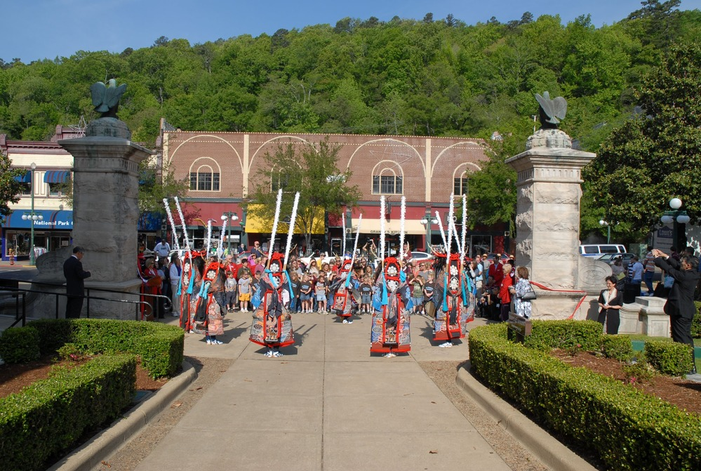
We decided to honor the Native Americans that utilized the Hot Springs before colonization occurred, so we based our colorway off of the traditional garments worn during a tribal dance performance at the entrance to the park.  

For more information: