It’s time for the annual National Parks Club! Find out information about participating shops and more here.
Where is it located?
Joshua Tree National Park is a vast protected area in southern California.
Whose land does it reside upon?
The lands currently managed by Joshua Tree National Park include parts of the traditional homelands of the Maara’yam (Serrano), Nüwü (Chemehuevi), and Kawiya (Cahuilla), and the traditional use area of the Aha Macave (Mohave). Today, these groups are represented by 15 federally-recognized tribal governments:
- Agua Caliente Band of Cahuilla Indians
- Augustine Band of Cahuilla Indians
- Cabazon Band of Mission Indians
- Cahuilla Band of Indians
- Chemehuevi Indian Tribe
- Colorado River Indian Tribes
- Fort Mojave Indian Tribe
- Los Coyotes Band of Cahuilla and Cupeño Indians
- Morongo Band of Mission Indians
- Ramona Band of Cahuilla
- Yuhaaviatam of San Manuel Nation
- Santa Rosa Band of Cahuilla Indians
- Soboba Band of Luiseño Indians
- Torres Martinez Desert Cahuilla Indians
- Twenty-Nine Palms Band of Mission Indians.
When was it established?
October 31, 1994
About this park:
Two distinct desert ecosystems, the Mojave and the Colorado, come together in Joshua Tree National Park. A fascinating variety of plants and animals make their homes in a land sculpted by strong winds and occasional torrents of rain. Dark night skies, a rich cultural history, and surreal geologic features add to the wonder of this vast wilderness in southern California.
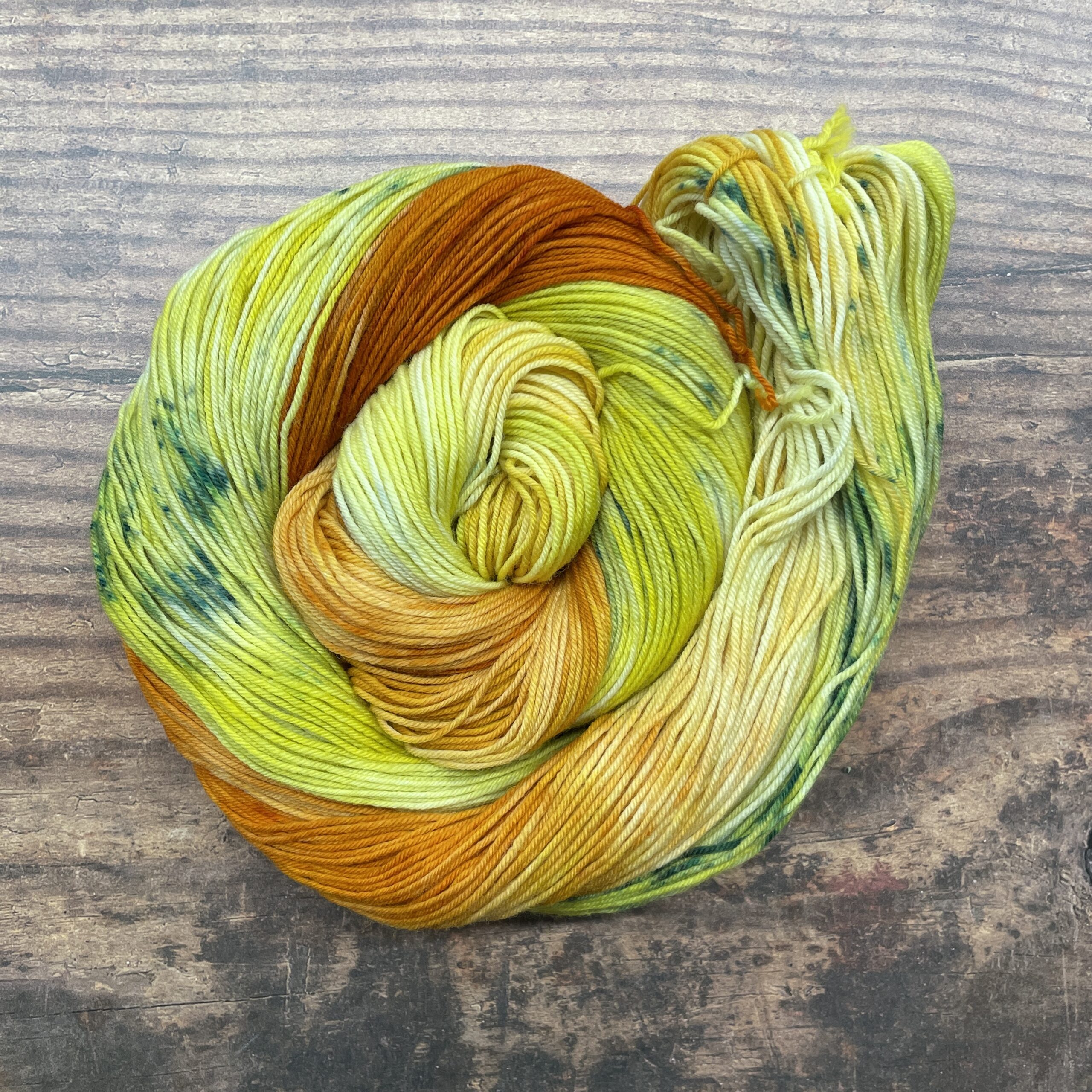
Why did we choose these colors?
We were inspired by photos of sunsets at Joshua Tree (like this one) for our colorway: https://www.nps.gov/media/photo/gallery-item.htm?pg=681309&id=f7f887ce-1dd8-b71b-0b3c-0172cb676fe3&gid=F5DD6FE7-1DD8-B71B-0B543C7B6B500E37
For more information:
NPS website: http://nps.gov/jotr/index.htm
Instagram: https://www.instagram.com/joshuatreenps
Facebook: https://www.facebook.com/JoshuaTreeNPS/