It’s time for the annual National Parks Club! Find out information about participating shops and more here.
Where is it located?
Olympic National Park is on Washington’s Olympic Peninsula in the Pacific Northwest.
Whose land does it reside upon?
Eight tribes have traditional associations to lands now in Olympic National Park: Hoh, Jamestown S’Klallam, Lower Elwha Klallam, Makah, Port Gamble S’Klallam, Quileute, Quinault and Skokomish. Despite the changes wrought upon them, area tribes are working to sustain their long traditions. The Makah have revived the custom of whaling, a tradition that dates back thousands of years according to archeological evidence. Coastal tribes continue their performance of a First Salmon ceremony to honor and give thanks to salmon returning from the sea. They are passing on the teachings of their elders to preserve language and traditional arts like basket weaving and carving.
When was it established?
June 29, 1938
About this park:
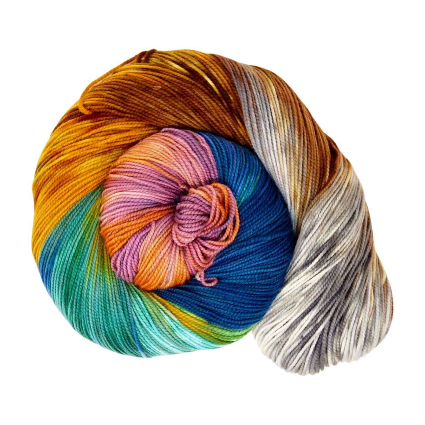
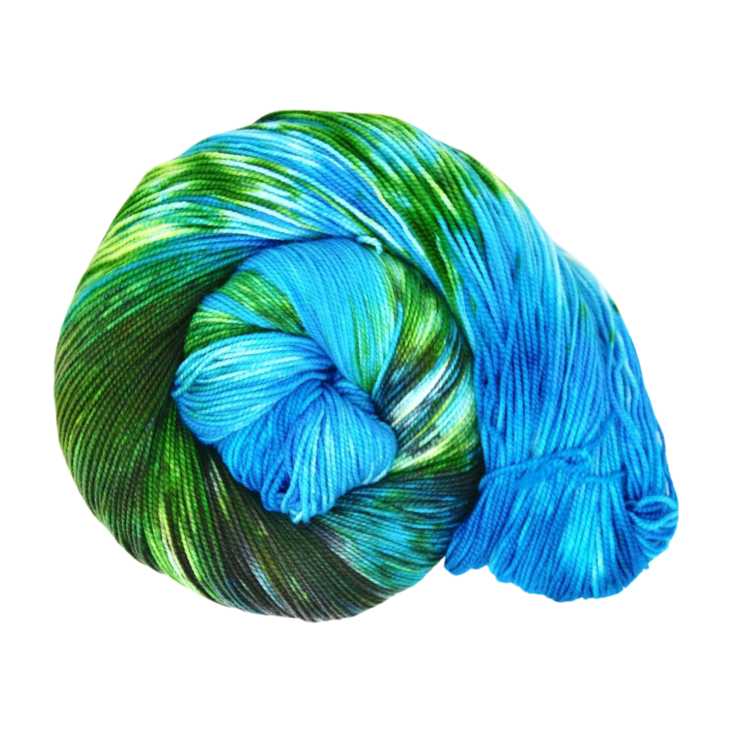
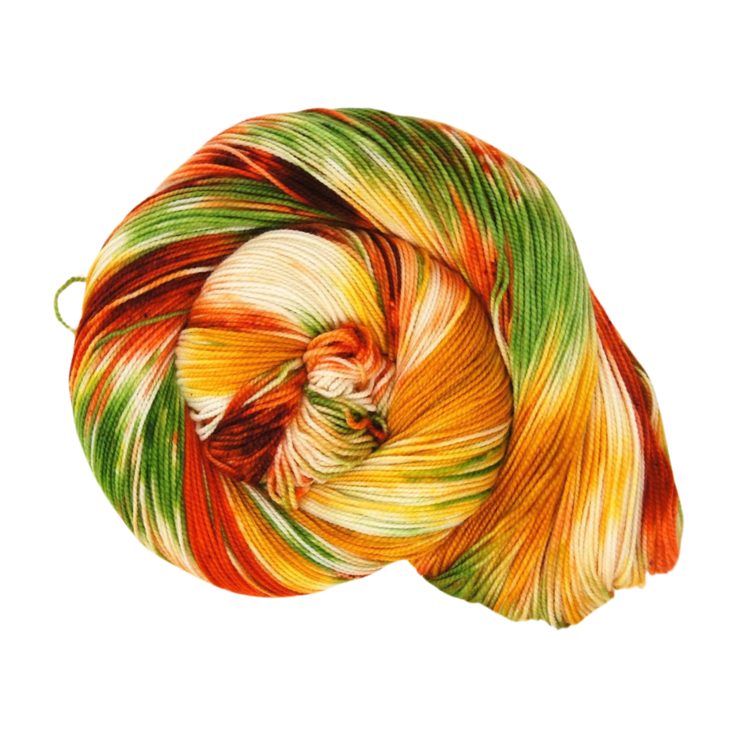
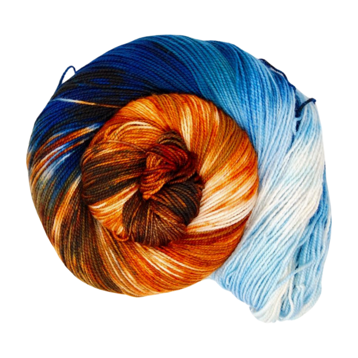
With its incredible range of precipitation and elevation, diversity is the hallmark of Olympic National Park. Encompassing nearly a million acres, the park protects a vast wilderness, thousands of years of human history, and several distinctly different ecosystems, including glacier-capped mountains, old-growth temperate rain forests, and over 70 miles of wild coastline.
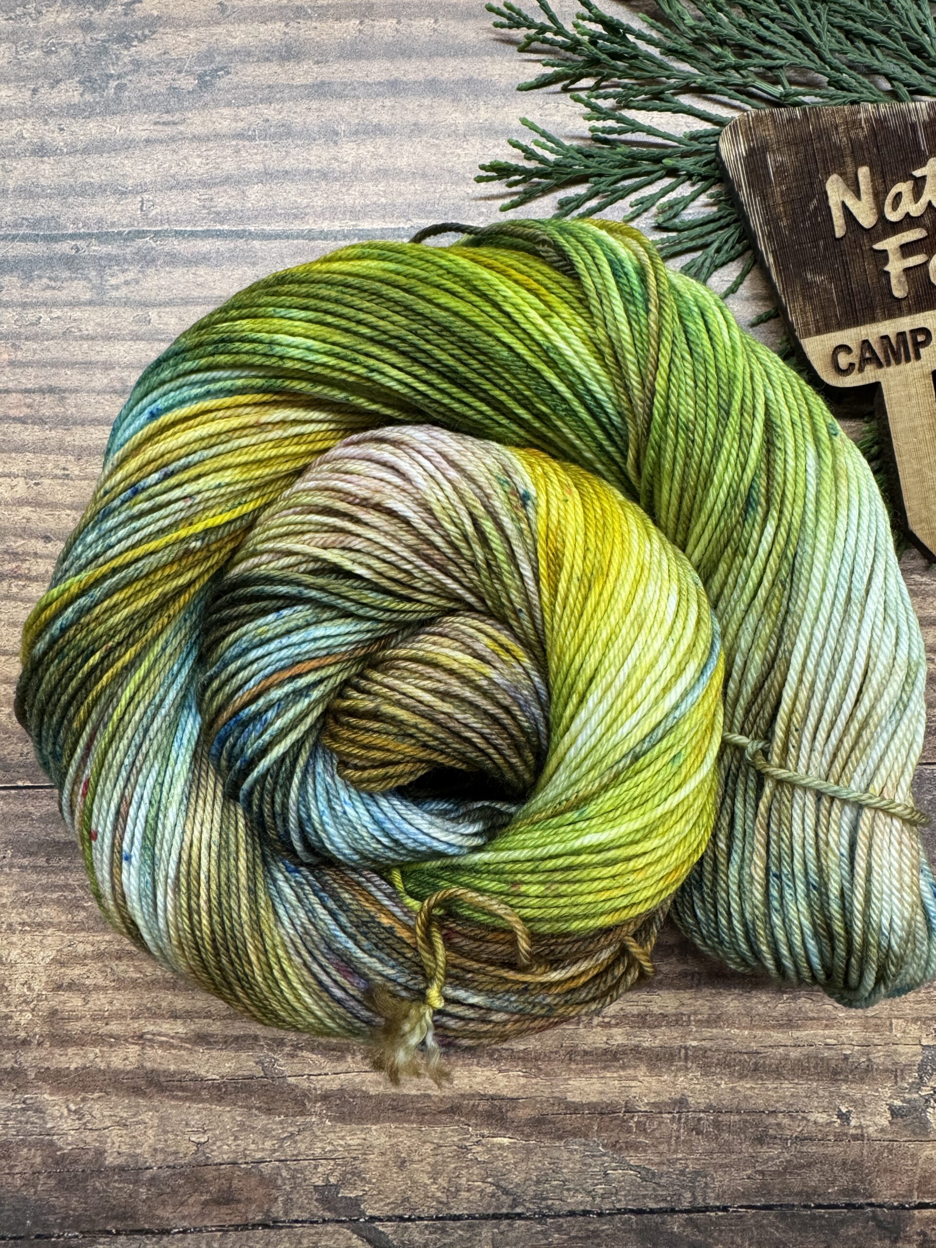
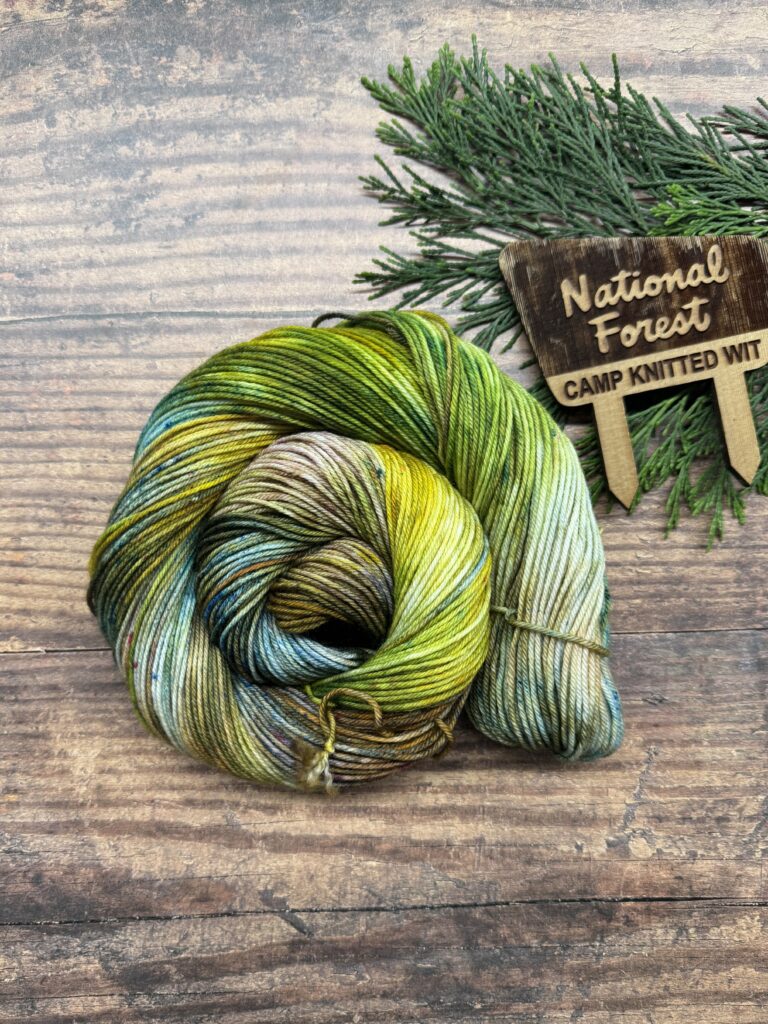
Why did we choose these colors?
The photo of the log bridge on Quinault Trail was our inspiration (found here): https://www.nps.gov/media/photo/gallery.htm?pg=6741680&id=F23B92B0-155D-4519-3E8887C9EDC70F23
For more information:
NPS website: https://www.nps.gov/olym/index.htm
Instagram: https://www.instagram.com/olympic_nps/
Facebook: https://www.facebook.com/OlympicNPS