It’s time for the annual National Parks Club! Find out information about participating shops and more here.
Where is it located?
Gifford Pinchot National Forest is a National Forest located in southern Washington State.
Whose land does it reside upon?
Lands administered by the Gifford Pinchot National Forest have been home to indigenous people since time immemorial. Tribes with historic ties to the area include the Mishalpam, Táytnapam, Sλpúlmx (Cowlitz); Cathlamet, Multnomah, Cascades, Wasco, Wishram, Xwáłxwaypam (Klikitat), Wayám, Skínpah, Q’miłpah, and Yakama. Most descendants are today citizens of several federally-recognized Tribes, including the Cowlitz Indian Tribe, Confederated Tribes and Bands of the Yakama Nation, Nisqually Indian Community, and the Confederated Tribes of the Warm Springs Reservation. Citizens of the Chinook Indian Nation continue their efforts to secure federal recognition.
When was it established?
July 1, 1908
About this park:
Gifford Pinchot National Forest includes over 1.3 million acres of forest, wildlife habitat, watersheds & mountains, including Mt. Adams & Mount St. Helens National Volcanic Monument.
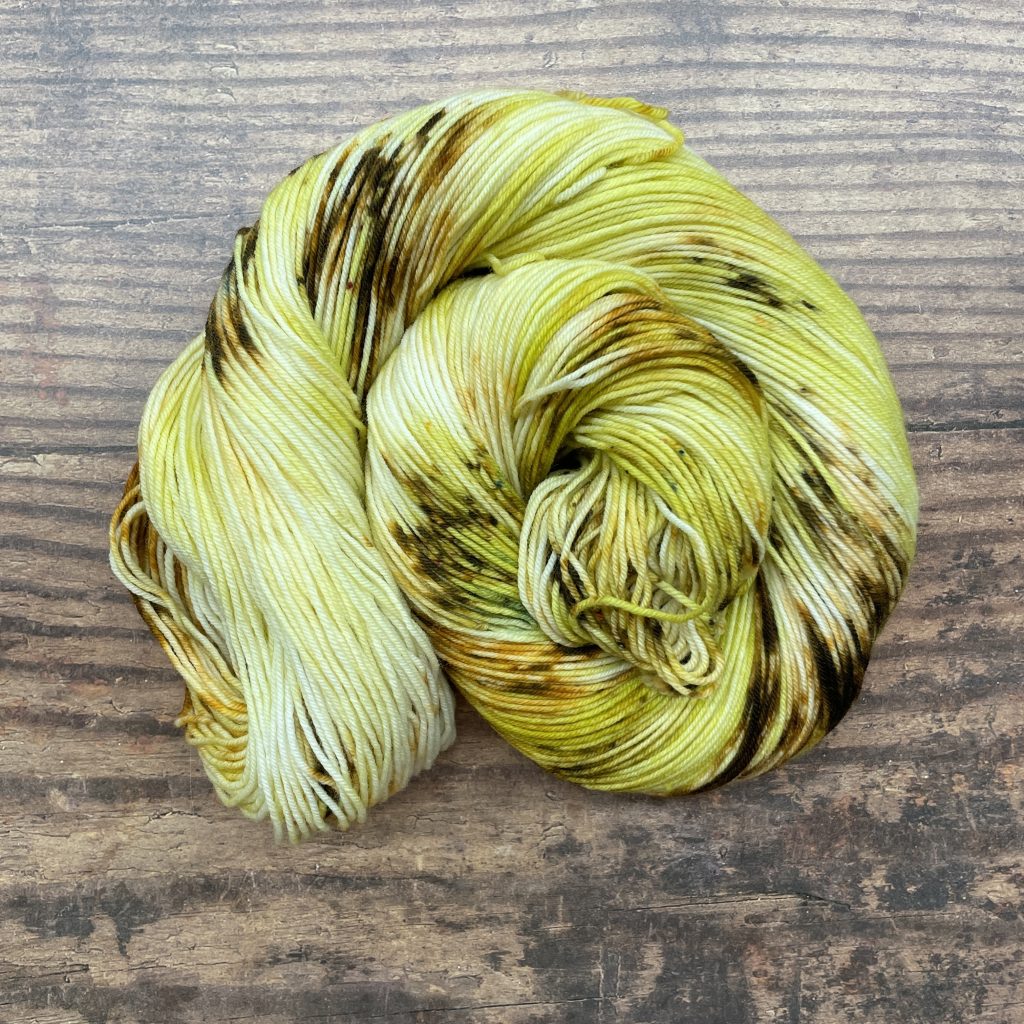
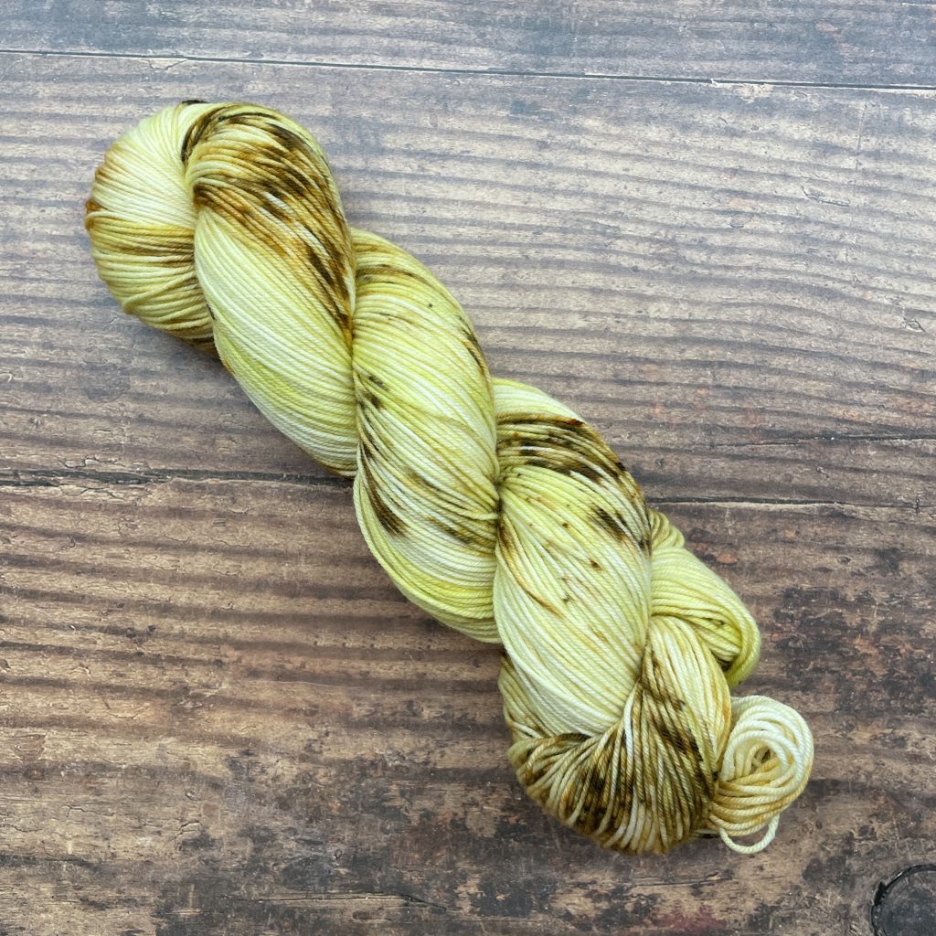
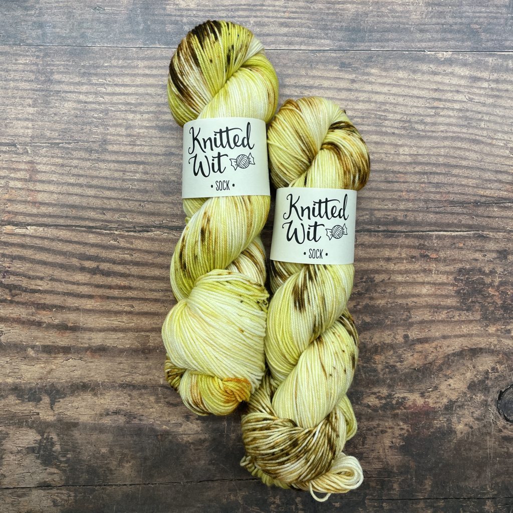
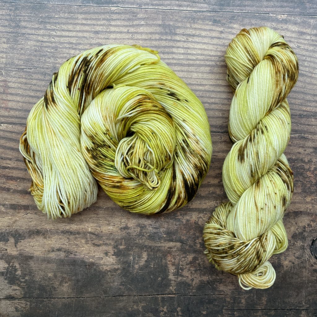
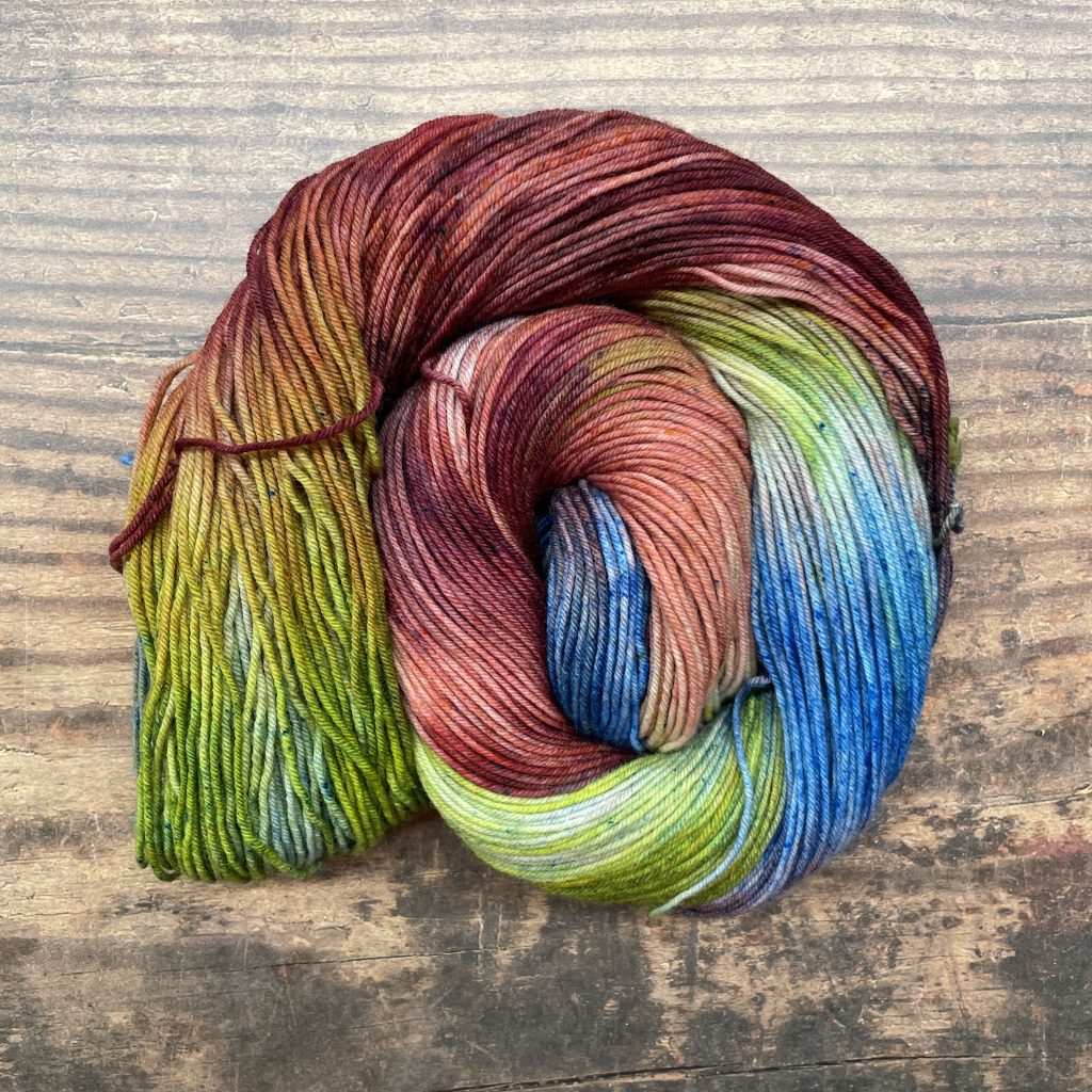
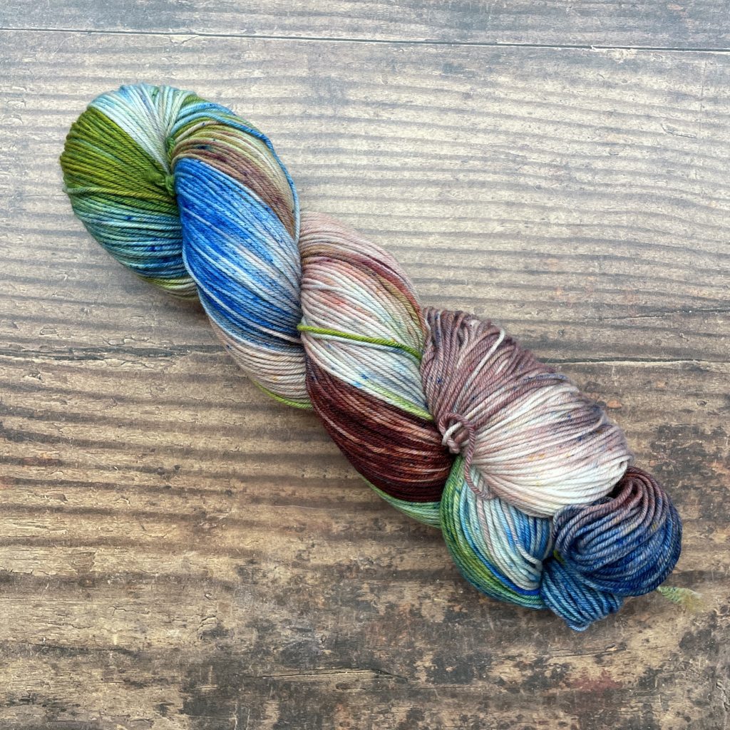
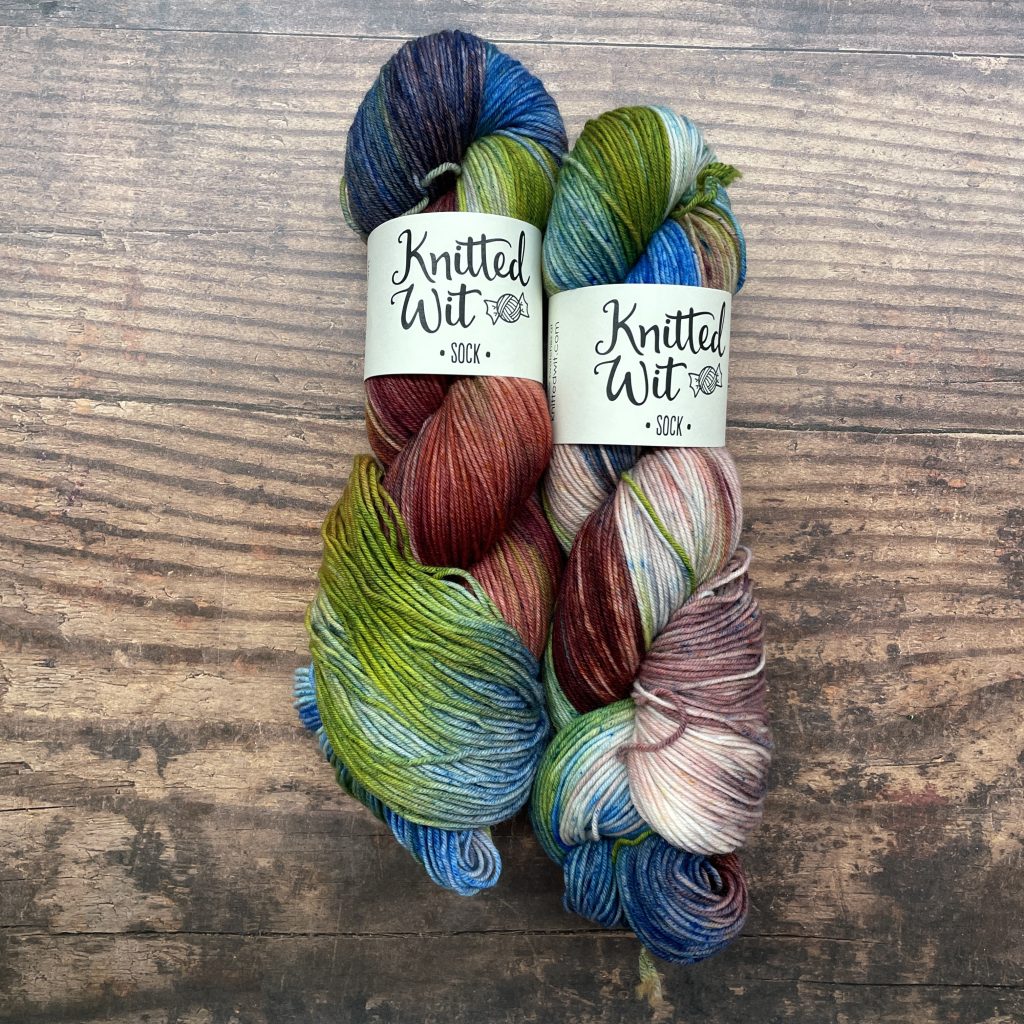
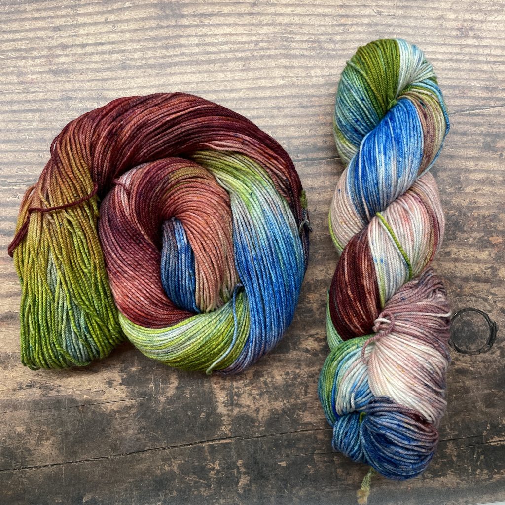
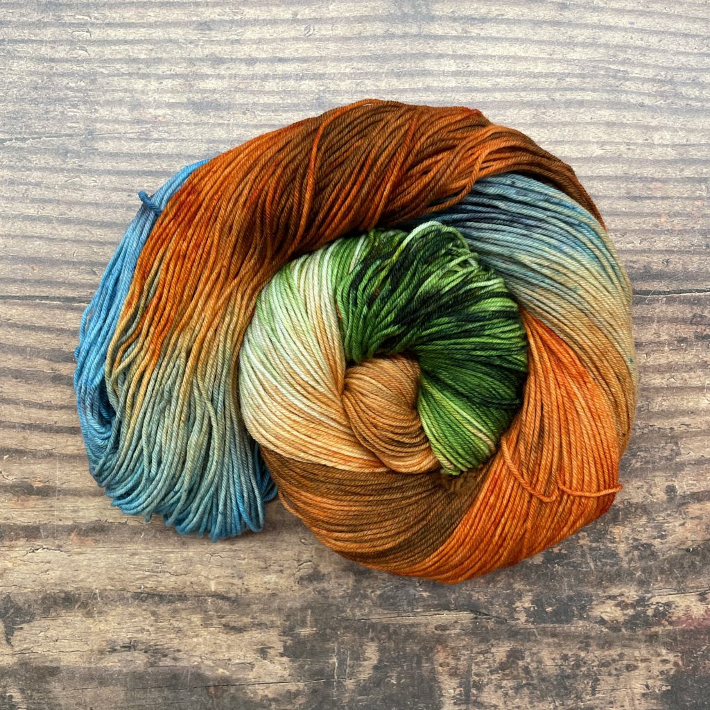
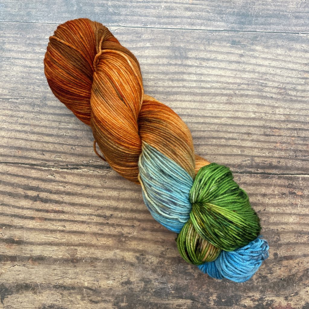
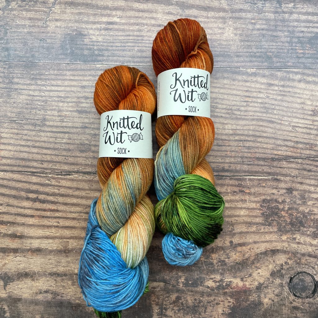
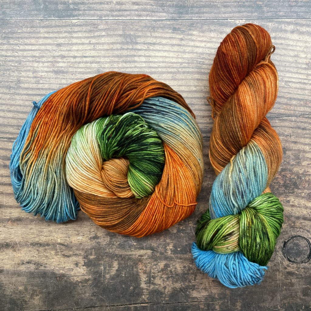
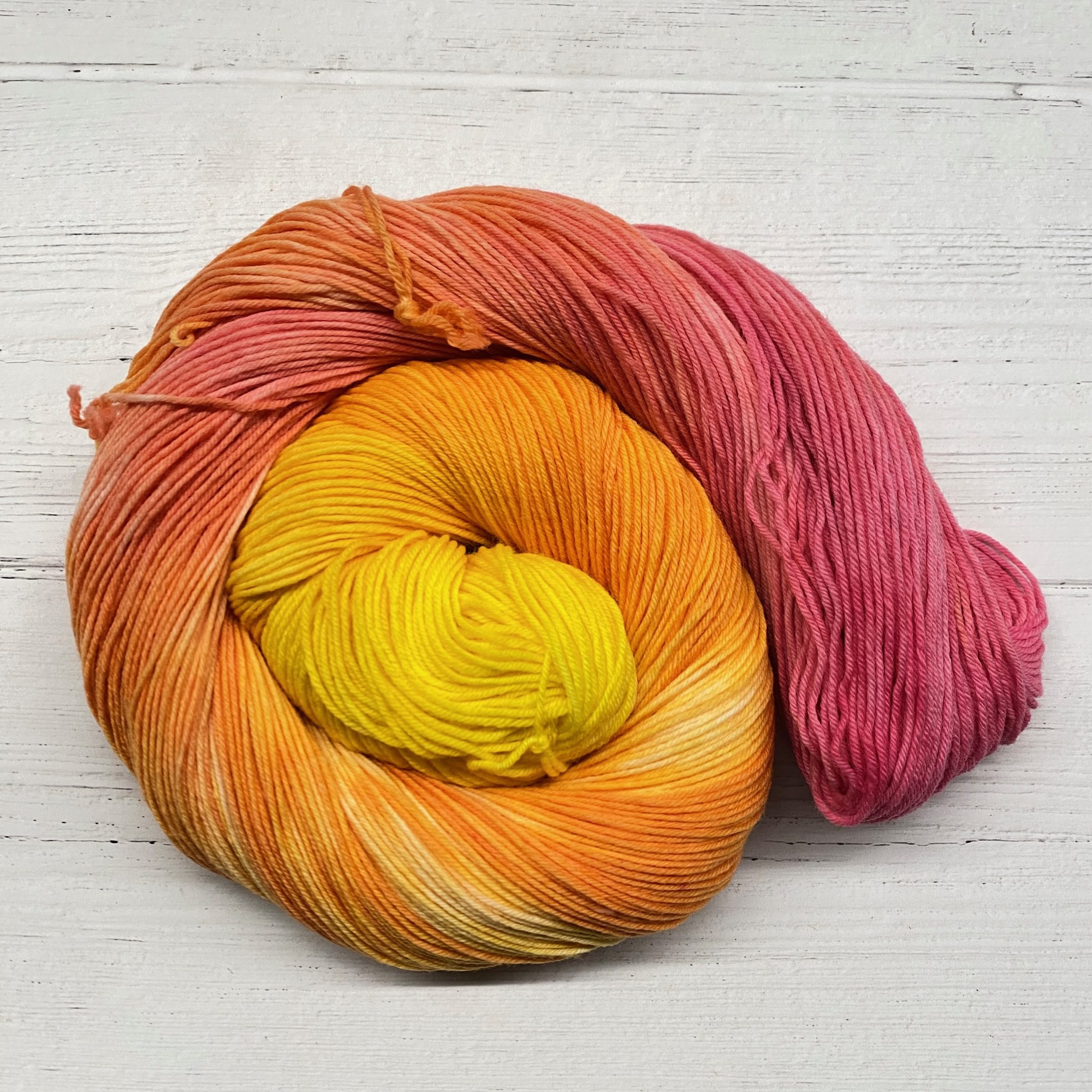
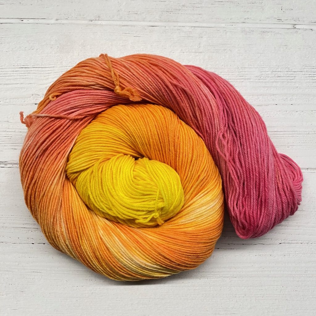
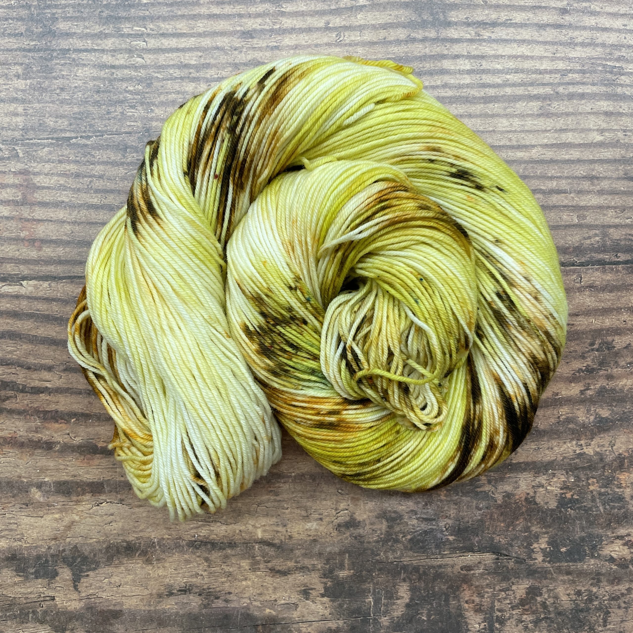
Why did we choose these colors?
If you’ve ever hiked in the Pacific Northwest, you’ve seen a banana slug, and that’s our inspiration for this colorway. Banana slugs are a genus of North American terrestrial slugs in the family Ariolimacidae. They are often bright yellow and kind of look like a banana. But please do not eat them! 😉
For more information:
FS website: https://www.fs.usda.gov/giffordpinchot/
Instagram: n/a
Facebook: https://www.facebook.com/GiffordPinchot